Coleraine Town Hall, Coleraine
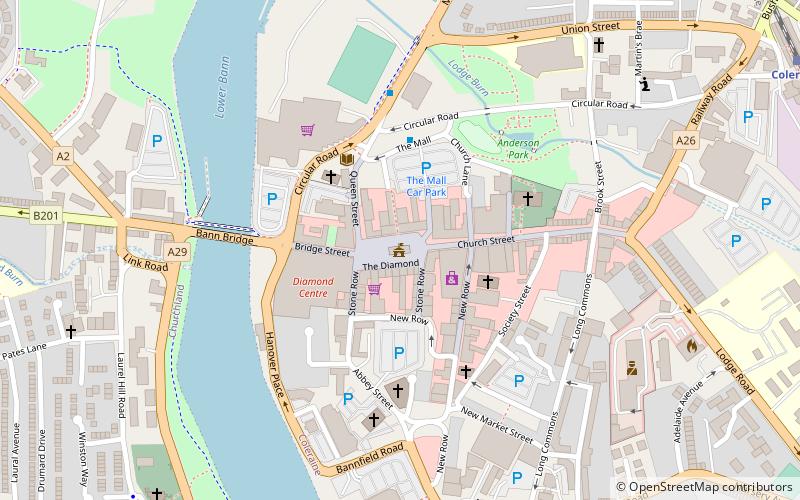
Map
Facts and practical information
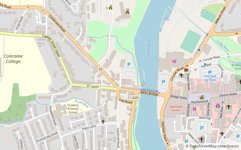
Coleraine Town Hall is a municipal structure in The Diamond in Coleraine, County Londonderry, Northern Ireland. The town hall, which was the headquarters of Coleraine Borough Council, is a Grade B1 listed building. ()
Coordinates: 55°7'54"N, 6°40'16"W
Address
Coleraine
ContactAdd
Social media
Add
Day trips
Coleraine Town Hall – popular in the area (distance from the attraction)
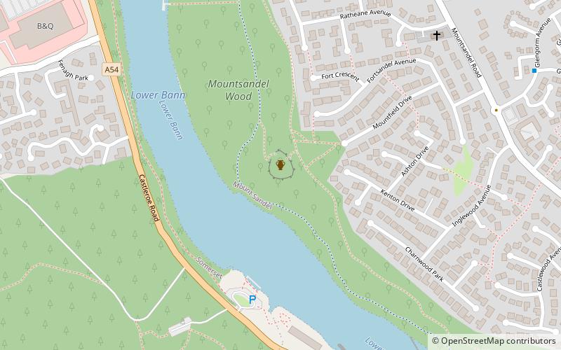
Nearby attractions include: Diamond Centre, Coleraine Castle, Mount Sandel Fort, Bann Bridge.
Frequently Asked Questions (FAQ)
Which popular attractions are close to Coleraine Town Hall?
Nearby attractions include Coleraine Castle, Coleraine (7 min walk), Bann Bridge, Coleraine (14 min walk).

