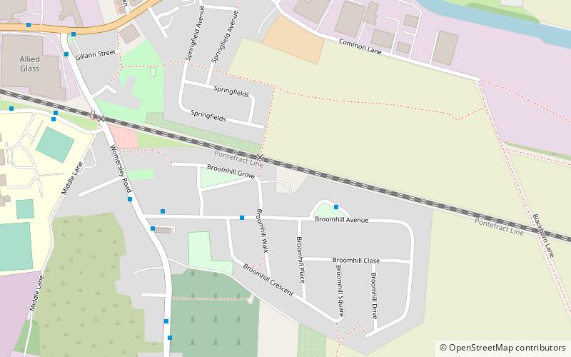
Mary Towneley Loop, Knottingley
Map

Map

Facts and practical information
The Mary Towneley Loop is a 47-mile circular route that forms part of the Pennine Bridleway National Trail, along the borders of Lancashire and Yorkshire. The loop was opened in 2002, the first section of the Pennine Bridleway. ()
Coordinates: 53°42'14"N, 1°13'59"W
Address
KnottingleyKnottingley
ContactAdd
Social media
Add
Day trips
Mary Towneley Loop – popular in the area (distance from the attraction)
Nearby attractions include: Pontefract Castle, St Giles' Church, Pontefract Market Hall, Pontefract Town Hall.


