Eythorne Baptist Church
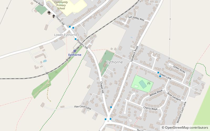
Map
Facts and practical information
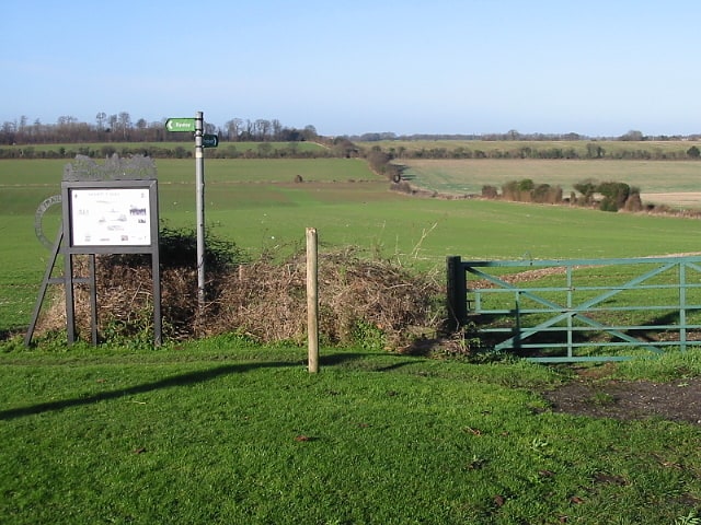
Eythorne Baptist Church originated in the meetings of early 16th century Baptists who had crossed the English Channel from the low countries to Kent to escape persecution. Nineteenth-century Baptist writer J. J. Goadby named Eythorne as one of the three "most ancient Baptist churches in England". ()
Coordinates: 51°11'54"N, 1°15'59"E
Day trips