Argyle Building, Glasgow
Map
Map

Facts and practical information
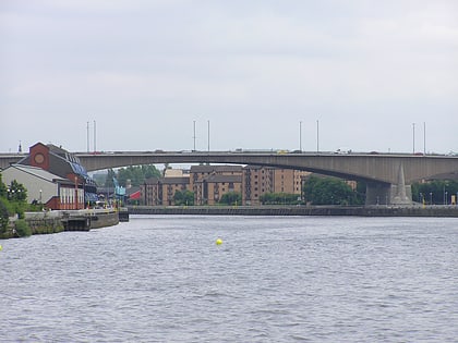
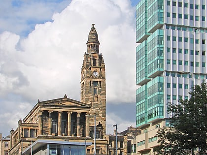
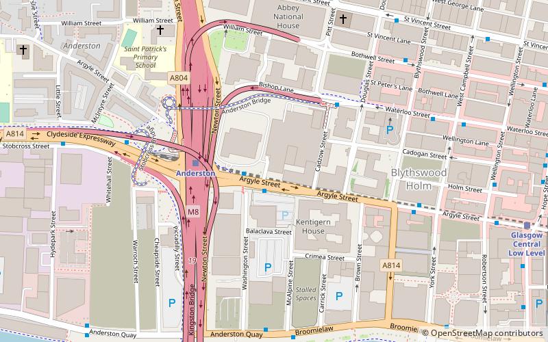
The Argyle Building is a mid-rise residential skyscraper in the Anderston district within the centre of Glasgow, Scotland. Started in 2005 and completed in 2008, it is among the highest buildings currently standing within the city's central area and occupies a prominent spot next to the Kingston Bridge and the M8 motorway. It can be seen prominently in the background of BBC Scotland television news bulletins. ()
Completed: 2008 (18 years ago)Height: 203 ftFloors: 21Coordinates: 55°51'35"N, 4°16'4"W
Address
City Centre (Anderston)Glasgow
ContactAdd
Social media
Add
Day trips
Argyle Building – popular in the area (distance from the attraction)
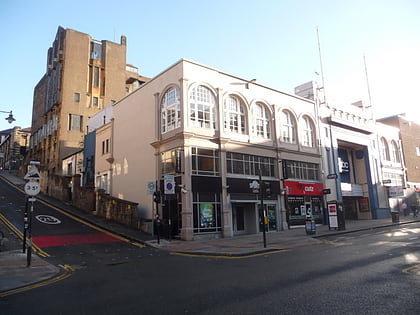
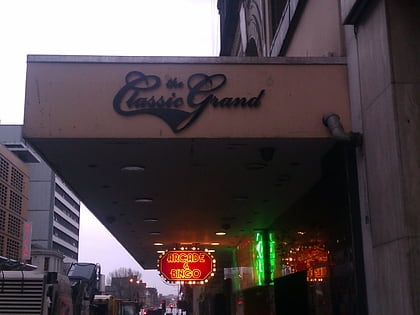
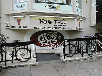
Nearby attractions include: O2 ABC Glasgow, Sub Club, The Classic Grand, King Tut's Wah Wah Hut.
Frequently Asked Questions (FAQ)
Which popular attractions are close to Argyle Building?
Nearby attractions include Anderston Centre, Glasgow (3 min walk), St. Vincent Street, Glasgow (4 min walk), St Vincent Street Church, Glasgow (6 min walk), St Columba Church of Scotland, Glasgow (6 min walk).
How to get to Argyle Building by public transport?
The nearest stations to Argyle Building:
Bus
Train
Metro
Bus
- Argyle Street / Oak Street • Lines: c1 (1 min walk)
- Waterloo Street / Pitt Street • Lines: 500 (3 min walk)
Train
- Anderston (3 min walk)
- Glasgow Central Low Level (8 min walk)
Metro
- St Enoch • Lines: Subway (13 min walk)
- Buchanan Street • Lines: Subway (15 min walk)

