Capel Clay, Bala
Map

Map

Facts and practical information
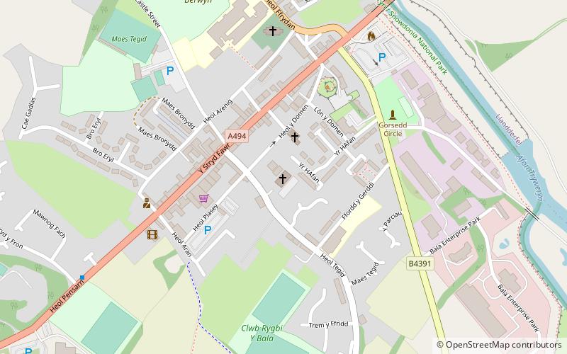
Capel Clay (address: 104 High Street) is a place located in Bala (Wales principality) and belongs to the category of paint and pottery studios, classes and workshops, church.
It is situated at an altitude of 545 feet, and its geographical coordinates are 52°54'36"N latitude and 3°35'49"W longitude.
Among other places and attractions worth visiting in the area are: Christ Church (church, 5 min walk), Maes Tegid (football, 7 min walk), Mary Jones World, Snowdonia National Park (specialty museum, 25 min walk).
Coordinates: 52°54'36"N, 3°35'49"W
Address
104 High StreetBala LL23 7AD
Contact
+44 1678 520984
Social media
Add
Day trips
Capel Clay – popular in the area (distance from the attraction)
Nearby attractions include: Bala Lake, Mary Jones World, Carndochan Castle, Foel Goch.


