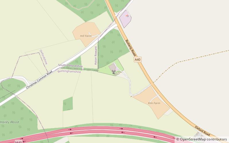
Stokenchurch BT Tower
Map

Map

Facts and practical information
Stokenchurch BT Tower is a telecommunications tower built of reinforced concrete at Stokenchurch, Buckinghamshire, England. Reaching to 340.5 metres above mean sea level, it dates from 1963 and is 99.4 metres tall. There are four platforms at the top that are used to attach microwave transmission drums and other antennas. ()
Coordinates: 51°39'55"N, 0°55'25"W
Location
England
ContactAdd
Social media
Add
Day trips
Stokenchurch BT Tower – popular in the area (distance from the attraction)
Nearby attractions include: Aston Rowant Cutting, Sir Charles Napier, Cowleaze Wood, Aston Rowant Woods.


