Gadebridge, Hemel Hempstead
Map
Facts and practical information
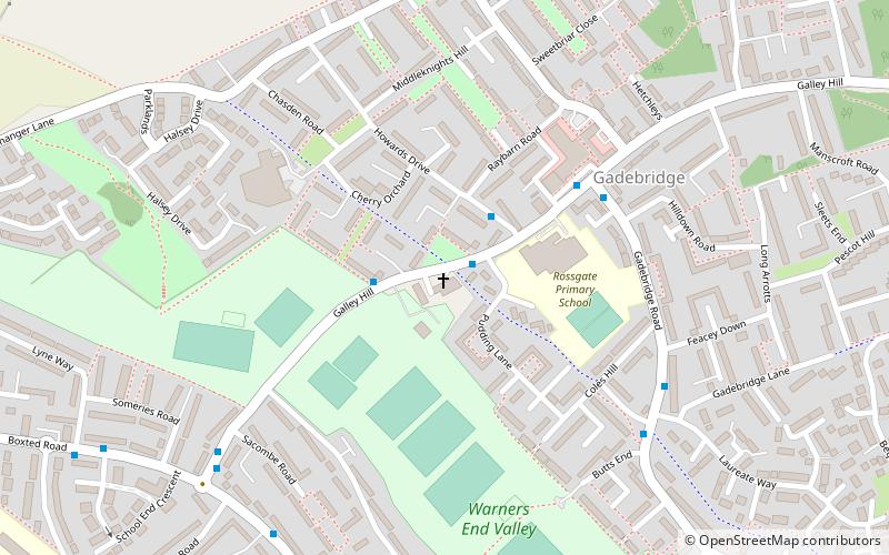
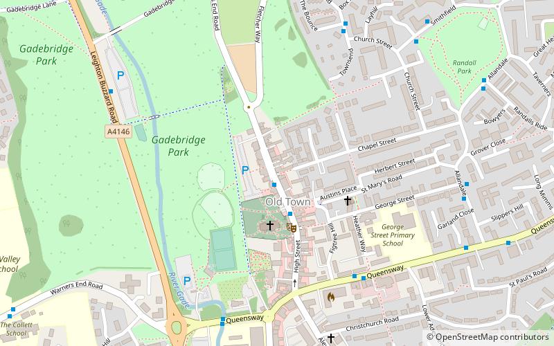
Gadebridge is a district of Hemel Hempstead in Hertfordshire, UK, located north west of Hemel Hempstead old town. It was developed from land that once formed part of Gadebridge House in the 1960s and centres on the Rossgate shopping parade. Gadebridge Park is the largest green space in Hemel Hempstead. A major Roman villa was discovered here at the time of its development. The population of the Dacorum ward at the 2011 Census was 5,655. ()
Coordinates: 51°45'49"N, 0°29'32"W
Getting there by public transportation
Public transportation stops near this location
- Bus
 Bus
Bus
- Calculate routeMarlowes 31 min walk
- Calculate routeWaterhouse Street 33 min walk
- Calculate routeRiverside 35 min walk
Day trips


Frequently Asked Questions (FAQ)
Which popular attractions are close to Gadebridge?
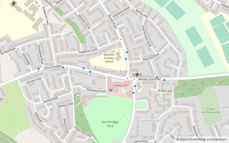
Nearby attractions include Warner's End, Hemel Hempstead (13 min walk), Gadebridge Park, Hemel Hempstead (14 min walk), Shrubhill Common, Hemel Hempstead (21 min walk), The Museum of Technology, Hemel Hempstead (23 min walk).
How to get to Gadebridge by public transport?
The nearest stations to Gadebridge:
Bus
Bus
- Marlowes • Lines: 105 (31 min walk)
- Waterhouse Street • Lines: 105 (33 min walk)