Bournemouth and Poole College, Bournemouth
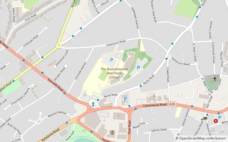
Map
Facts and practical information
The Bournemouth and Poole College is a well established educational provider which delivers further education, higher education and community based courses in Bournemouth and in Poole on the south coast of England. It is one of the larger British colleges with thousands of learners each year. ()
Established: 1913 (113 years ago)Coordinates: 50°43'30"N, 1°57'39"W
Getting there by public transportation
Public transportation stops near this location
- Bus
- Train
 Bus
Bus
- Calculate routePark Place 3 min walk
- Calculate routePark Gates, Poole College 4 min walk
- Calculate routePark Gates, Willow Park 4 min walk
- Calculate routeWillow Park 4 min walk
- Calculate routePoole Park 10 min walk
- Calculate routeParkstone 15 min walk
- Calculate routePoole 28 min walk
Day trips


Frequently Asked Questions (FAQ)
Which popular attractions are close to Bournemouth and Poole College?
Nearby attractions include Longfleet, Poole (11 min walk), Poole Park, Poole (14 min walk), Prevail Skatehouse, Poole (15 min walk), St Mary's Church, Poole (17 min walk).
How to get to Bournemouth and Poole College by public transport?
The nearest stations to Bournemouth and Poole College:
Bus
Train
Bus
- Park Place • Lines: 15, m2 (3 min walk)
- Park Gates, Poole College • Lines: 1, 15, m1, m2 (4 min walk)
Train
- Poole Park (10 min walk)
- Parkstone (15 min walk)