Poole Methodist Church, Poole
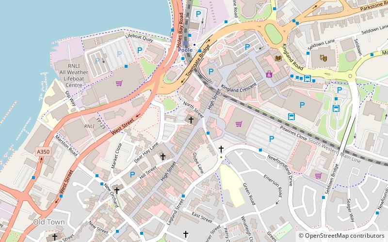
Map

Gallery

Facts and practical information
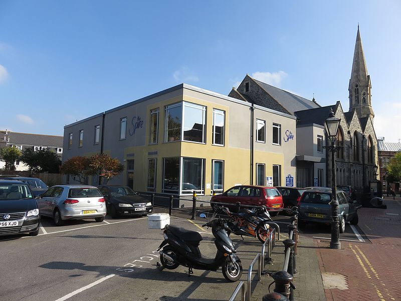
Poole Methodist Church is a nineteenth-century Methodist church on Poole High Street in Dorset, England. An extension to the church was nominated for the 2016 Carbuncle Cup for "the ugliest building in the United Kingdom completed in the last 12 months". ()
Coordinates: 50°43'0"N, 1°58'60"W
Address
Poole TownPoole
ContactAdd
Social media
Add
Day trips
Poole Methodist Church – popular in the area (distance from the attraction)
Nearby attractions include: Dolphin Shopping Centre, Statue of Robert Baden-Powell, Baiter Park, Upton Country Park.
Frequently Asked Questions (FAQ)
Which popular attractions are close to Poole Methodist Church?
Nearby attractions include Poole United Reformed Church, Poole (6 min walk), The Lighthouse, Poole (8 min walk), Statue of Robert Baden-Powell, Poole (9 min walk), St James' Church, Poole (9 min walk).
How to get to Poole Methodist Church by public transport?
The nearest stations to Poole Methodist Church:
Bus
Train
Bus
- Old Library • Lines: 1, 60, 8, One (1 min walk)
- Dolphin Centre • Lines: 1, One (4 min walk)
Train
- Poole (4 min walk)
- Poole Park (22 min walk)


