Grove Walk, Oxford
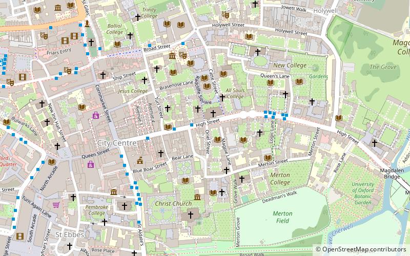
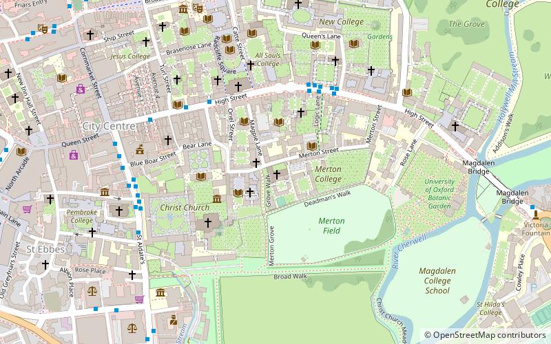
Map
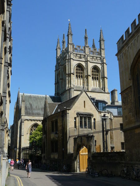
Gallery
Facts and practical information
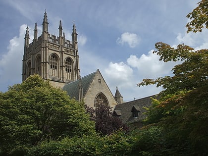
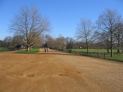
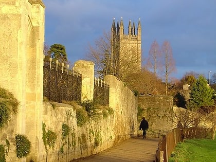
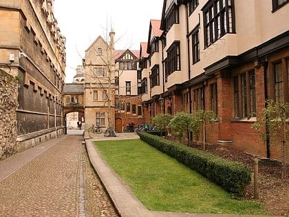
Grove Walk is a short historic leafy walkway running north–south in central Oxford, England, situated on land between Merton College to the east and Corpus Christi College to the west. It provides one of the entrances to Christ Church Meadow from the north. ()
Coordinates: 51°45'4"N, 1°15'9"W
Day trips
Grove Walk – popular in the area (distance from the attraction)
Nearby attractions include: High Street, University Church of St Mary the Virgin, Christ Church Cathedral, Broad Walk.
Frequently Asked Questions (FAQ)
Which popular attractions are close to Grove Walk?
Nearby attractions include Mob Quad, Oxford (1 min walk), Merton College Library, Oxford (1 min walk), Merton Street, Oxford (2 min walk), Magpie Lane, Oxford (2 min walk).
How to get to Grove Walk by public transport?
The nearest stations to Grove Walk:
Bus
Train
Bus
- Queens Lane • Lines: 10, 15, 280, 3A, 5A, Lgw, Lhr, Tube, U1, X3, X90 (4 min walk)
- Turl Street • Lines: 280, 3A, U1 (4 min walk)
Train
- Oxford (20 min walk)
