Sanders of Oxford, Oxford
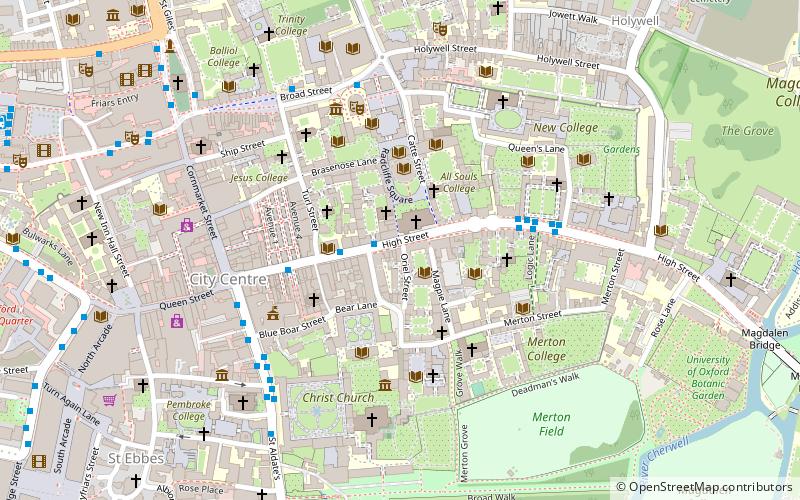
Map
Facts and practical information
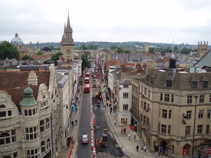
Sanders of Oxford is an antique print shop situated on the High Street of the city of Oxford, England. ()
Coordinates: 51°45'9"N, 1°15'15"W
Address
HolywellOxford
ContactAdd
Social media
Add
Getting there by public transportation
Public transportation stops near this location
- Bus
- Train
 Bus
Bus
- Calculate routeTurl Street 2 min walk
- Calculate routeHigh Street 4 min walk
- Calculate routeQueens Lane 4 min walk
- Calculate routeOxford 18 min walk
Day trips


Frequently Asked Questions (FAQ)
Which popular attractions are close to Sanders of Oxford?
Nearby attractions include University College, Oxford (1 min walk), King Edward Street, Oxford (1 min walk), Oriel Street, Oxford (1 min walk), University Church of St Mary the Virgin, Oxford (1 min walk).
How to get to Sanders of Oxford by public transport?
The nearest stations to Sanders of Oxford:
Bus
Train
Bus
- Turl Street • Lines: 280, 3A, U1 (2 min walk)
- High Street • Lines: 10, 3A, 5A (4 min walk)
Train
- Oxford (18 min walk)