Crag Hill, Yorkshire Dales National Park
Map
Map

Facts and practical information
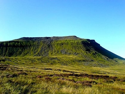
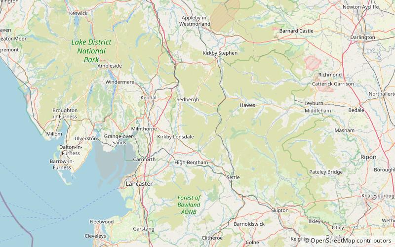
Crag Hill is on the western edge of the Yorkshire Dales in northern England, not to be confused with the higher Crag Hill elsewhere in the county of Cumbria. It lies on the boundary of the Yorkshire Dales national park, but its summit is in South Lakeland district, Cumbria. It is part of a ridge including the neighbouring fells of Great Coum and Gragareth. The summit of Crag Hill is about 0.62 miles away from the top of Great Coum, the latter being the highest point on the ridge at 2,254 feet. ()
Elevation: 2238 ftCoordinates: 54°14'41"N, 2°28'26"W
Day trips
Crag Hill – popular in the area (distance from the attraction)
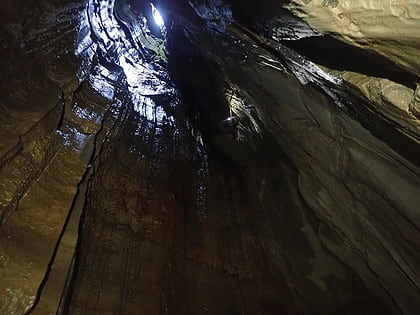
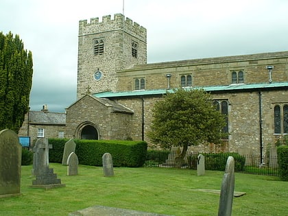
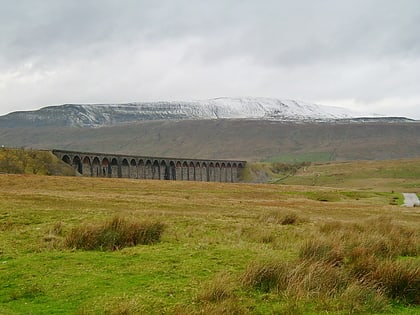
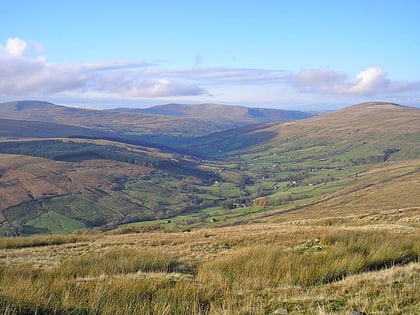
Nearby attractions include: Jingling Pot, St Andrew's Church, Whernside, Dentdale.

