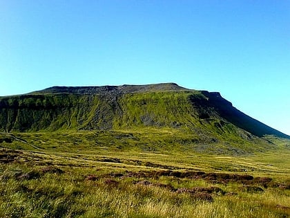
Dentdale, Yorkshire Dales National Park
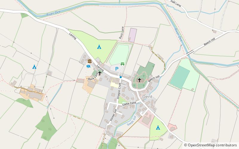
Map
Gallery
Facts and practical information
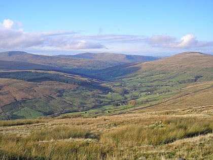
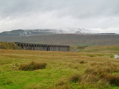
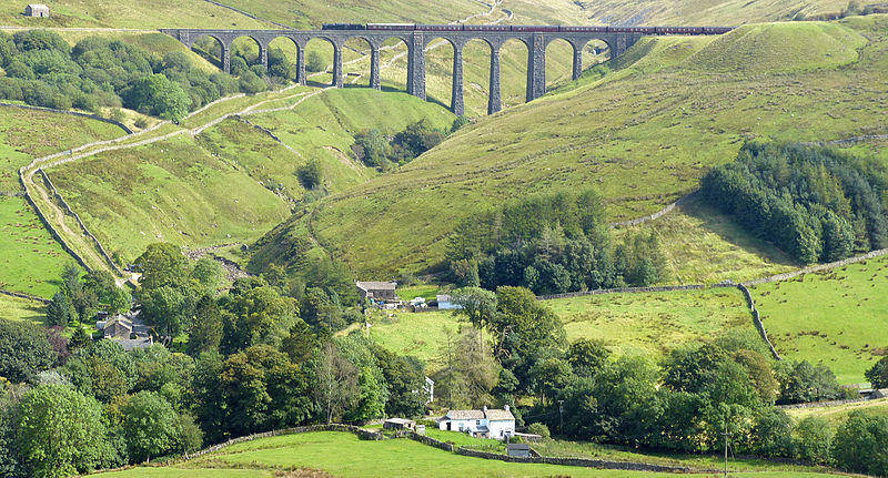
Dentdale is a dale or valley in the north-west of the Yorkshire Dales National Park in Cumbria, England. It is the valley of the River Dee, but takes its name from the village of Dent. The dale runs east to west, starting at Dent Head, which is the location of a railway viaduct on the Settle-Carlisle Line. ()
Coordinates: 54°16'42"N, 2°27'20"W
Day trips
Dentdale – popular in the area (distance from the attraction)
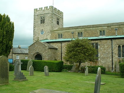
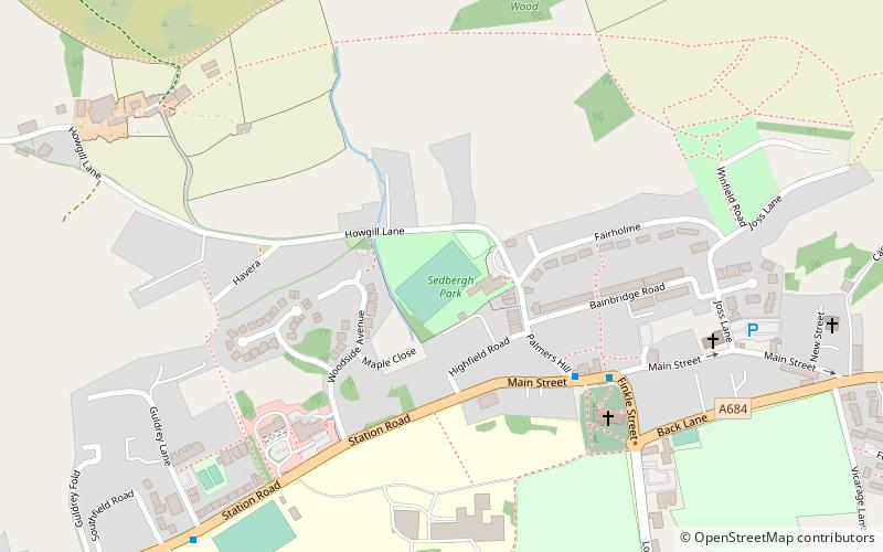
Nearby attractions include: Garsdale, St Andrew's Church, Whernside, Sedbergh People's Hall.
