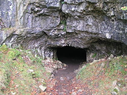
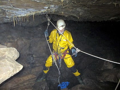
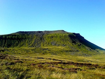
Great Coum, Yorkshire Dales National Park
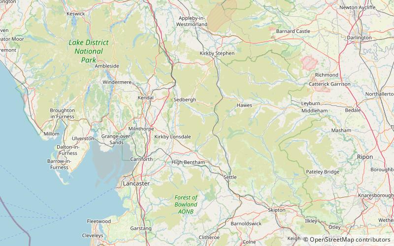
Map
Map

Facts and practical information
Great Coum is a hill in the Yorkshire Dales, but is located in the South Lakeland district of Cumbria. The highest point is in Dent parish, but the boundary with Casterton parish crosses the summit. Its neighbours include Crag Hill, Green Hill and Gragareth. ()
Elevation: 2254 ftProminence: 725 ftCoordinates: 54°14'47"N, 2°27'38"W
Address
Yorkshire Dales National Park
ContactAdd
Social media
Add
Day trips
Great Coum – popular in the area (distance from the attraction)
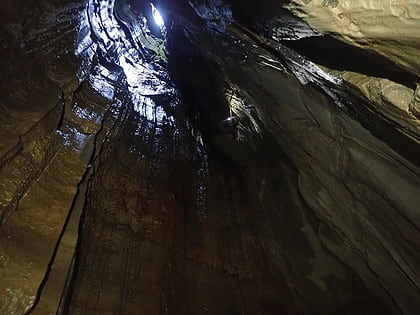
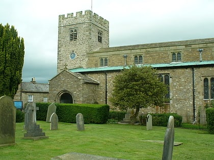
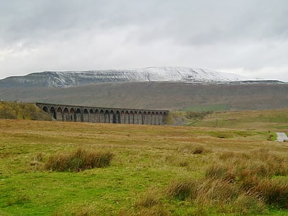
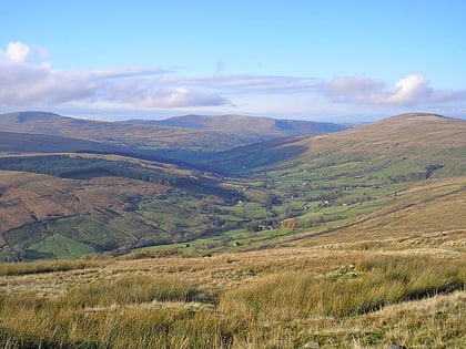
Nearby attractions include: Jingling Pot, St Andrew's Church, Whernside, Dentdale.
Frequently Asked Questions (FAQ)
Which popular attractions are close to Great Coum?
Nearby attractions include Crag Hill, Yorkshire Dales National Park (14 min walk), Green Hill, Yorkshire Dales National Park (24 min walk).

