Slieve Gallion

Gallery (1)
Map
Map
Facts and practical information
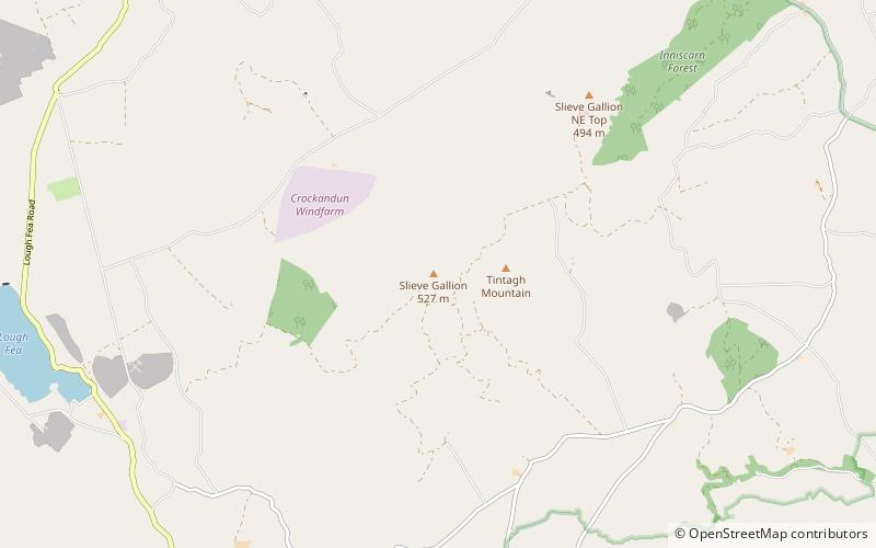
Slieve Gallion is a mountain in County Londonderry, Northern Ireland. It is the easternmost of the Sperrin Mountains. It reaches a height of 528 metres and dominates the western shore of Lough Neagh. Its prominent northeastern summit has a transmitter station with a small road leading to it, and stands at a height of 496 metres. ()
Elevation: 1732 ftCoordinates: 54°43'54"N, 6°45'38"W
Location
Northern Ireland
ContactAdd
Social media
Add
Day trips


