Lissan
Map
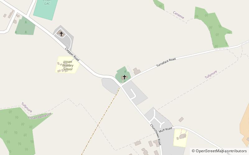
Map

Facts and practical information
Lissan is a civil and Anglican and Roman Catholic ecclesiastical parish that spans parts of County Londonderry and County Tyrone, Northern Ireland. The local Roman Catholic church was built in 1908. ()
Coordinates: 54°41'16"N, 6°45'6"W
Location
Northern Ireland
ContactAdd
Social media
Add
Day trips
Lissan – popular in the area (distance from the attraction)
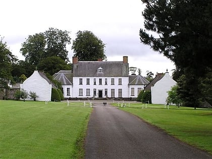
Nearby attractions include: Springhill House, Drum Manor Forest Park, Lissan House, Slieve Gallion.

