Benbradagh


Facts and practical information
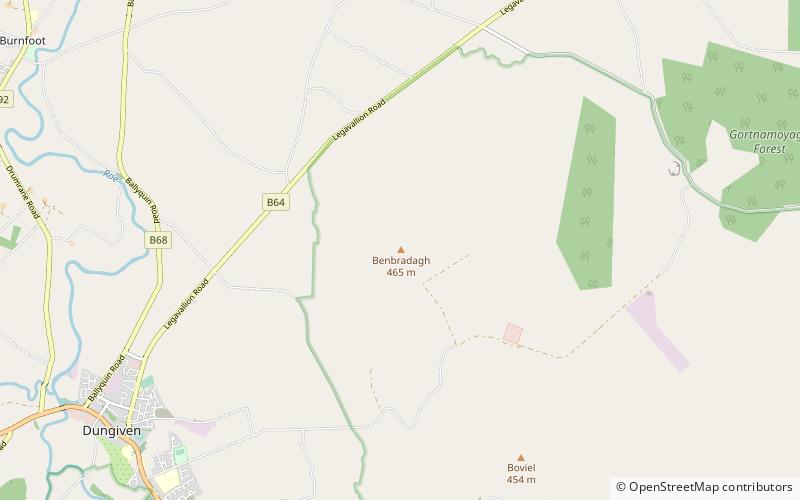
Benbradagh is a mountain in Dungiven County Londonderry, Northern Ireland. It is the second most northerly summit in the Sperrin Mountains area and the 564th highest summit in Ireland. It rises to 465 metres and lies to the east of Dungiven. It was used from the 1940s to the early 1970s as a United States Military Base. Col Buckley, of the Directorate of Military Intelligence, believed nuclear weapons could be situated at underground facilities inside Benbradagh mountain in Derry, which US forces used as a communications hub in order to communicate with its North Atlantic fleet, but which were also designed for the storage of conventional high explosives. Col Buckley complained that he did not have "the monitoring or surveillance systems" to confirm the presence of nuclear weapons in Northern Ireland, but that the British strongly denied land-based systems in the territory and refused to confirm the movements of air and sea-based nuclear weapons. It is popular with paragliders due to the steep terrain. The mountain is accessible via the Curragh Road which stops near the summit. ()
Northern Ireland
Benbradagh – popular in the area (distance from the attraction)
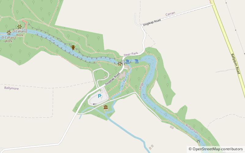
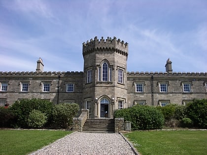
Nearby attractions include: Roe Valley Country Park, Dungiven Castle, Mullaghmore, Donald's Hill.


