Mullaghmore

Gallery (1)
Map
Map
Facts and practical information
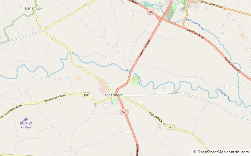
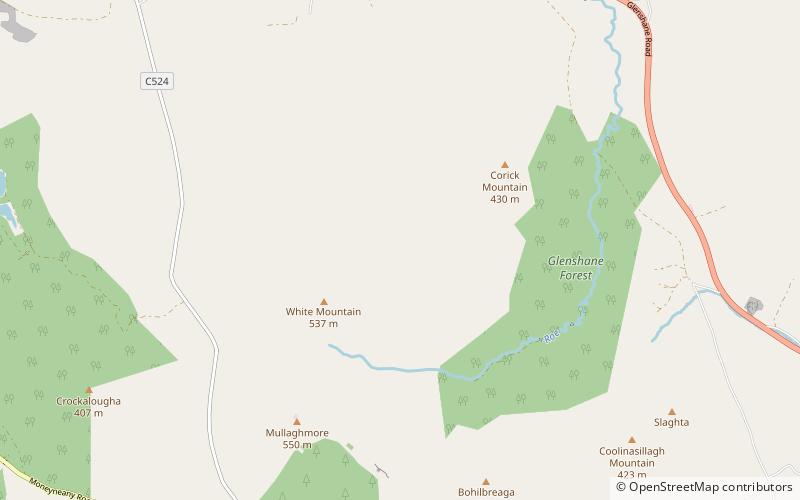
Mullaghmore is a mountain in County Londonderry, Northern Ireland. It is part of the Sperrins and the 359th highest mountain in Ireland The summit is dominated by a large telecommunication tower. The mountain is located 5 miles north of the village of Draperstown, and 6 mile south of Dungiven. It is also locally known as, "The Birren" hence the road name passing over the mountain, "Birren Road" ()
Elevation: 1804 ftProminence: 771 ftCoordinates: 54°52'0"N, 6°49'60"W
Location
Northern Ireland
ContactAdd
Social media
Add
Day trips