All Saints' Church, Leeds
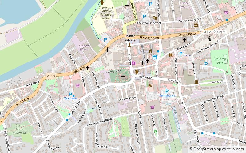
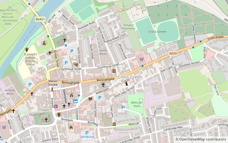
Map

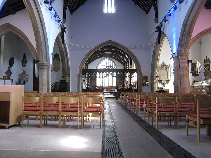
Gallery

Facts and practical information
All Saints' Church in Otley, West Yorkshire, England is an active Anglican parish church in the archdeaconry of Leeds and the Diocese of Leeds. ()
Coordinates: 53°54'15"N, 1°41'41"W
Address
Kirkgate OtleyOtley and WharfedaleLeeds LS21 3HW
Contact
+44 1943 465927
Social media
Add
Day trips
All Saints' Church – popular in the area (distance from the attraction)
Nearby attractions include: Six Dales Trail, The Chevin, Otley, Otley Museum.
Frequently Asked Questions (FAQ)
Which popular attractions are close to All Saints' Church?
Nearby attractions include Otley, Leeds (3 min walk), Otley Museum, Leeds (7 min walk), Newall, Leeds (17 min walk), The Chevin, Leeds (20 min walk).
How to get to All Saints' Church by public transport?
The nearest stations to All Saints' Church:
Bus
Bus
- Stand 01 Otley Bus Station • Lines: X84 (3 min walk)
- Stand 02 Otley Bus Station • Lines: 33, 34, X84 (3 min walk)


