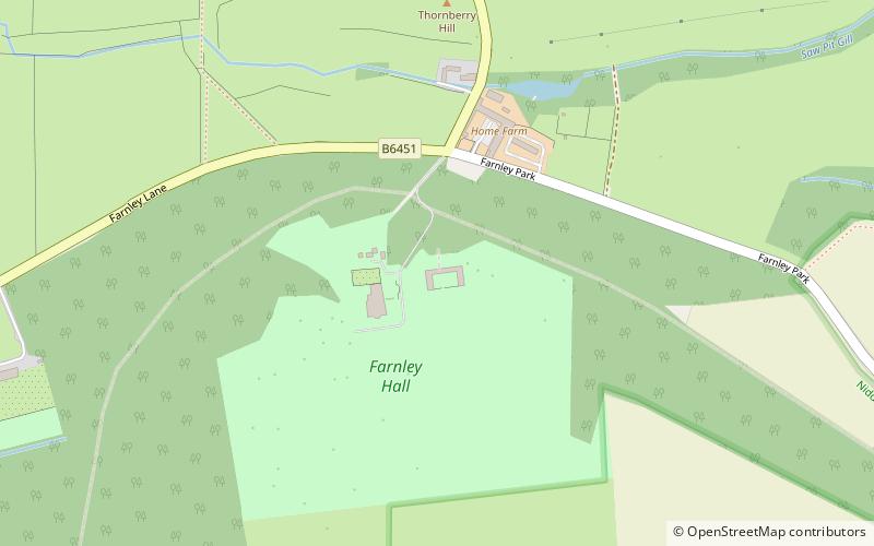
Farnley Hall, Bradford
Map
Facts and practical information
Farnley Hall is a stately home in Farnley, North Yorkshire, England. It is located near Otley. The original early seventeenth-century house was added to in the 1780s by John Carr, who also designed Harewood House. The hall is now a Grade I listed building. ()
Coordinates: 53°55'18"N, 1°40'21"W
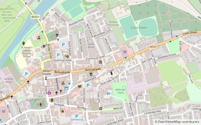
Getting there by public transportation
Public transportation stops near this location
- Bus
 Bus
Bus
- Calculate routePool Road 23 min walk
- Calculate routeChippendale Rise The Crossways 23 min walk
Day trips


Frequently Asked Questions (FAQ)
How to get to Farnley Hall by public transport?
The nearest stations to Farnley Hall:
Bus
Bus
- Pool Road • Lines: 940, A3 (23 min walk)
- Chippendale Rise The Crossways • Lines: Dash (23 min walk)