Peninnis Head, St Mary's
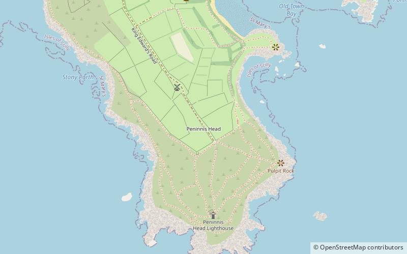
Map

Gallery

Facts and practical information
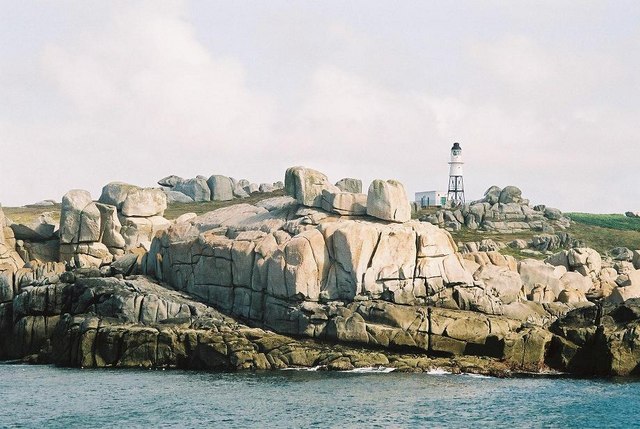
Peninnis Head is the southernmost point of St Mary's, Isles of Scilly. The headland is within the Isles of Scilly Area of Outstanding Natural Beauty and part of the Heritage Coast. It is also a Geological Conservation Review site for its Quaternary geomorphology and was first designated a Site of Special Scientific Interest in 1971 for both its biological and geological interests. On the tip of the headland is a squat lighthouse built in 1911 by Trinity House as a replacement for the 17th century lighthouse on St Agnes. ()
Coordinates: 49°54'25"N, 6°18'14"W
Day trips
Peninnis Head – popular in the area (distance from the attraction)
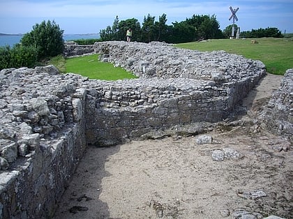
Nearby attractions include: Porth Hellick, St Mary's Old Church, St Mary's Methodist Church, Harry's Walls.
Frequently Asked Questions (FAQ)
Which popular attractions are close to Peninnis Head?
Nearby attractions include Peninnis Lighthouse, St Mary's (5 min walk), St Mary's Old Church, St Mary's (7 min walk), Buzza Tower, St Mary's (14 min walk), St Mary's Church, St Mary's (17 min walk).


