Pow Hill Bog
Map

Map

Facts and practical information
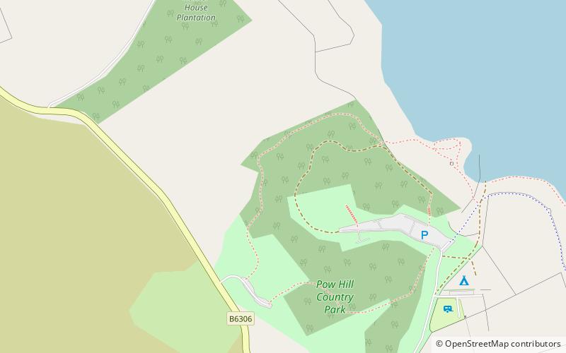
Pow Hill Bog is a Site of Special Scientific Interest in the Wear Valley district of County Durham, England. It lies alongside Derwent Reservoir, approximately 2 km north-west of the village of Edmundbyers and adjacent to the Edmundbyers Common portion of the Muggleswick, Stanhope and Edmundbyers Commons and Blanchland Moor SSSI. ()
Established: 1986 (40 years ago)Elevation: 807 ft a.s.l.Coordinates: 54°51'40"N, 1°59'17"W
Day trips
Pow Hill Bog – popular in the area (distance from the attraction)
Nearby attractions include: Hisehope Reservoir, Hownsgill Viaduct, Blanchland Abbey, Derwent Gorge and Horsleyhope Ravine.


