St Andrew's Church
Map

Map

Facts and practical information
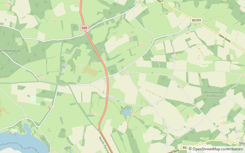
St Andrew's Church, Shotley, is a redundant Anglican church standing in an isolated position at a height of 960 feet on Greymare Hill in Northumberland, England. It is recorded in the National Heritage List for England as a designated Grade II listed building, and is in the care of the Churches Conservation Trust. ()
Completed: 1892 (134 years ago)Coordinates: 54°53'29"N, 1°55'52"W
Day trips
St Andrew's Church – popular in the area (distance from the attraction)
Nearby attractions include: Pow Hill Bog, Ovingham Bridge, St Andrew's Church, Hisehope Reservoir.


