Waskerley Reservoir

Gallery (1)
Map
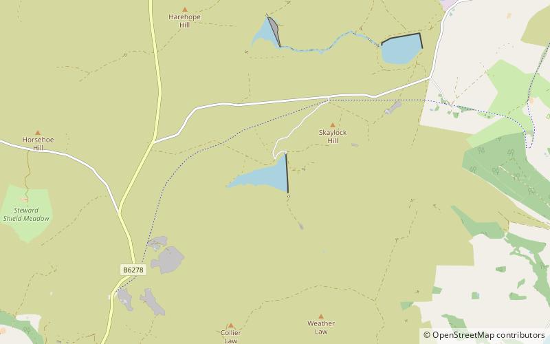
Map
Facts and practical information
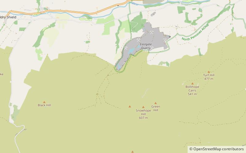
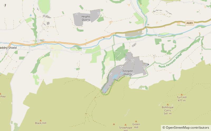
Waskerley Reservoir is the largest of a group of three reservoirs located on Muggleswick Common, County Durham, the others being Smiddy Shaw and Hisehope Reservoirs. ()
Maximum depth: 80 ftElevation: 1152 ft a.s.l.Coordinates: 54°47'35"N, 1°57'55"W
Location
England
ContactAdd
Social media
Add
Day trips