Hopwood Hall College, Rochdale
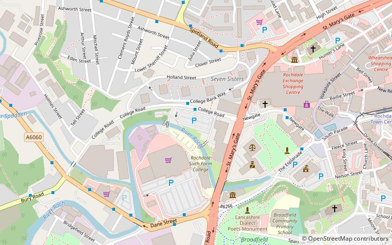
Map

Map

Facts and practical information
Hopwood Hall College is a further education college in the Metropolitan Borough of Rochdale, Greater Manchester, England. It has two campuses, one in Rochdale (53.6168°N 2.1626°W / 53.6168; -2.1626) and one in Middleton (53.5690°N 2.1889°W / 53.5690; -2.1889). The college offers a wide-range of vocational and technical study programmes aimed at young people aged 16–19, with some university level courses, Apprenticeship programmes and adult education. ()
Coordinates: 53°37'1"N, 2°9'49"W
Day trips
Hopwood Hall College – popular in the area (distance from the attraction)
Nearby attractions include: Spotland Stadium, Rochdale Town Hall, Rochdale Pioneers Museum, Marland Golf Course.
Frequently Asked Questions (FAQ)
Which popular attractions are close to Hopwood Hall College?
Nearby attractions include Touchstones Rochdale, Rochdale (4 min walk), Rochdale Cenotaph, Rochdale (5 min walk), Rochdale Pioneers Museum, Rochdale (6 min walk), Rochdale Town Hall, Rochdale (6 min walk).
How to get to Hopwood Hall College by public transport?
The nearest stations to Hopwood Hall College:
Tram
Bus
Train
Tram
- Rochdale Town Centre • Lines: EDid, Roch (9 min walk)
- Newbold • Lines: EDid, Roch (31 min walk)
Bus
- Rochdale Interchange (10 min walk)
- Rochdale Bus Station • Lines: 17, 181, 182, 24, 431, 433, 434, 435, 438, 446, 454, 455, 456, 457, 458, 468, 469, 471, 58, 6, 719, R4, R5 (10 min walk)
Train
- Rochdale (17 min walk)


