Turnhurst, Stoke-on-Trent
Map
Facts and practical information
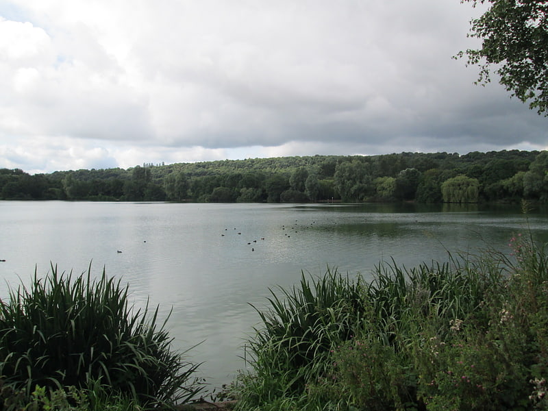
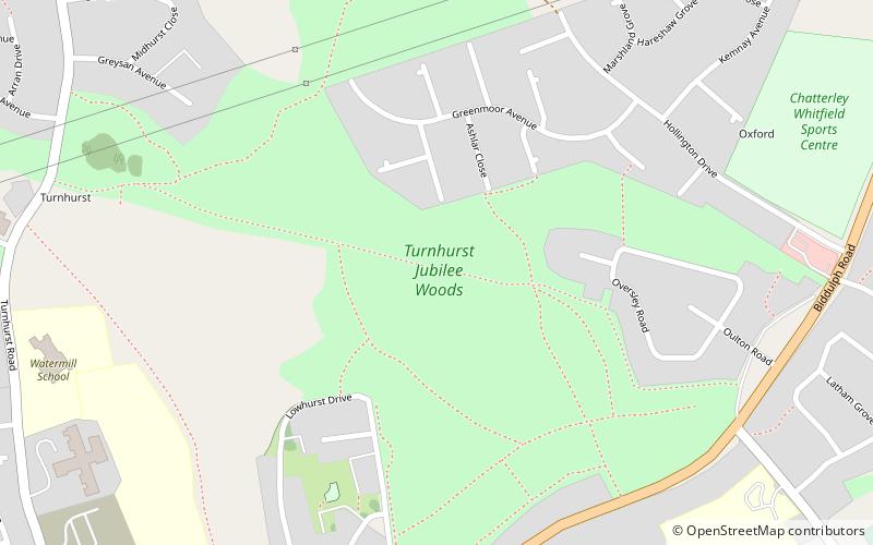
Turnhurst Hall was a substantial house which stood in an area of what is now Stoke-on-Trent, Staffordshire, England, between Great Chell and the hamlet of Newchapel in Newcastle-under-Lyme. The road linking the two settlements is now known as Turnhurst Road and the area where the former estate was located is now known as Turnhurst. ()
Elevation: 584 ft a.s.l.Coordinates: 53°4'42"N, 2°11'35"W
Address
Chell and PackmoorStoke-on-Trent
ContactAdd
Social media
Add
Day trips