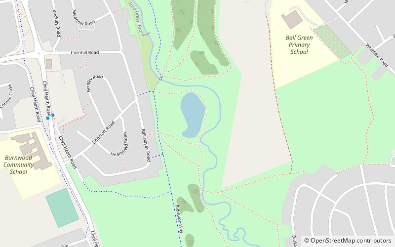
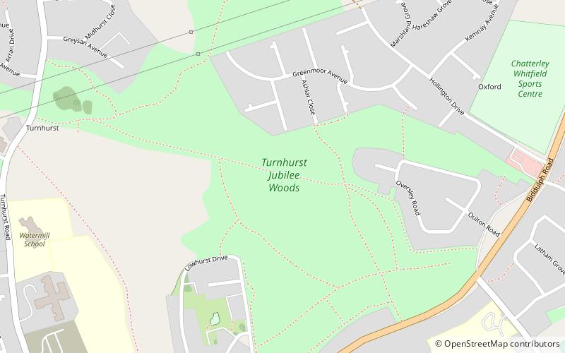
Whitfield Valley, Stoke-on-Trent

Gallery (1)
Map
Map
Facts and practical information
Whitfield Valley is a local nature reserve on the northern fringe of Stoke-on-Trent, England. ()
Elevation: 476 ft a.s.l.Coordinates: 53°3'59"N, 2°10'27"W
Address
Norton and BradeleyStoke-on-Trent
ContactAdd
Social media
Add
Day trips


Frequently Asked Questions (FAQ)
Which popular attractions are close to Whitfield Valley?
Nearby attractions include Chatterley Whitfield, Stoke-on-Trent (18 min walk), Ford Green Hall, Stoke-on-Trent (22 min walk).