Collingwood College, Durham

Gallery (1)
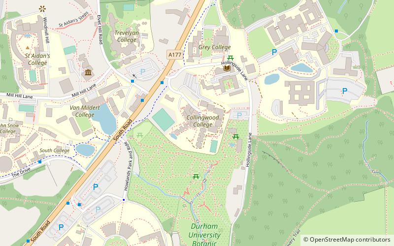
Map
Map
Facts and practical information
Collingwood College is a college of Durham University in England. It is the second largest of Durham's undergraduate colleges with around 1100 students. Founded in 1972 as the first purpose-built, mixed-sex college in Durham, it is named after the mathematician Sir Edward Collingwood, who was a former Chair of the Council of Durham University. ()
Coordinates: 54°45'45"N, 1°34'36"W
Getting there by public transportation
Public transportation stops near this location
- Bus
 Bus
Bus
- Calculate routeMount Oswald 11 min walk
- Calculate routeNew Inn 13 min walk
- Calculate routeMount Joy 13 min walk
Day trips


Frequently Asked Questions (FAQ)
Which popular attractions are close to Collingwood College?
Nearby attractions include Grey College, Durham (4 min walk), Durham University Botanic Garden, Durham (5 min walk), Van Mildert College, Durham (5 min walk), Trevelyan College, Durham (6 min walk).
How to get to Collingwood College by public transport?
The nearest stations to Collingwood College:
Bus
Bus
- Mount Oswald • Lines: 6 (11 min walk)
- New Inn • Lines: 56 (13 min walk)