Durham Museum and Heritage Centre, Durham
Map
Map

Facts and practical information
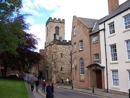
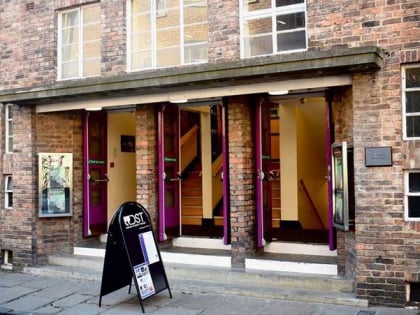
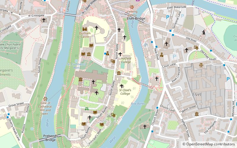
Durham Museum and Heritage Centre is a museum in Durham, England. It details the history of the City of Durham from medieval times to the present day. The museum is located in the redundant church of St Mary-le-Bow, close to the World Heritage Site of Durham Cathedral and Durham Castle. It is bounded on the north and east by Hatfield College; on the south by Bow Lane, and the west by North Bailey. ()
Coordinates: 54°46'25"N, 1°34'28"W
Address
Durham World Heritage Site Visitor CentreDurham DH1 3HB
Contact
+44 191 334 3805
Social media
Add
Day trips
Durham Museum and Heritage Centre – popular in the area (distance from the attraction)
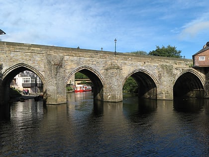
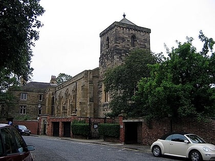
Nearby attractions include: Durham Cathedral, Durham Castle, Prebends Bridge, Durham University Museum of Archaeology.
Frequently Asked Questions (FAQ)
Which popular attractions are close to Durham Museum and Heritage Centre?
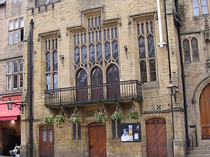
Nearby attractions include Assembly Rooms Theatre, Durham (2 min walk), Hatfield College, Durham (2 min walk), St Chad's College, Durham (2 min walk), Kingsgate Bridge, Durham (2 min walk).
How to get to Durham Museum and Heritage Centre by public transport?
The nearest stations to Durham Museum and Heritage Centre:
Bus
Train
Bus
- New Elvet • Lines: X12 (4 min walk)
- St. Oswalds Church • Lines: 56 (5 min walk)
Train
- Durham (13 min walk)
