Prebends Bridge, Durham
Map
Gallery
Facts and practical information
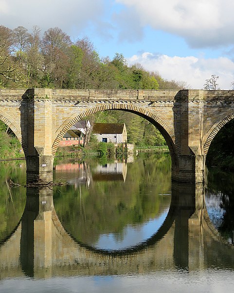
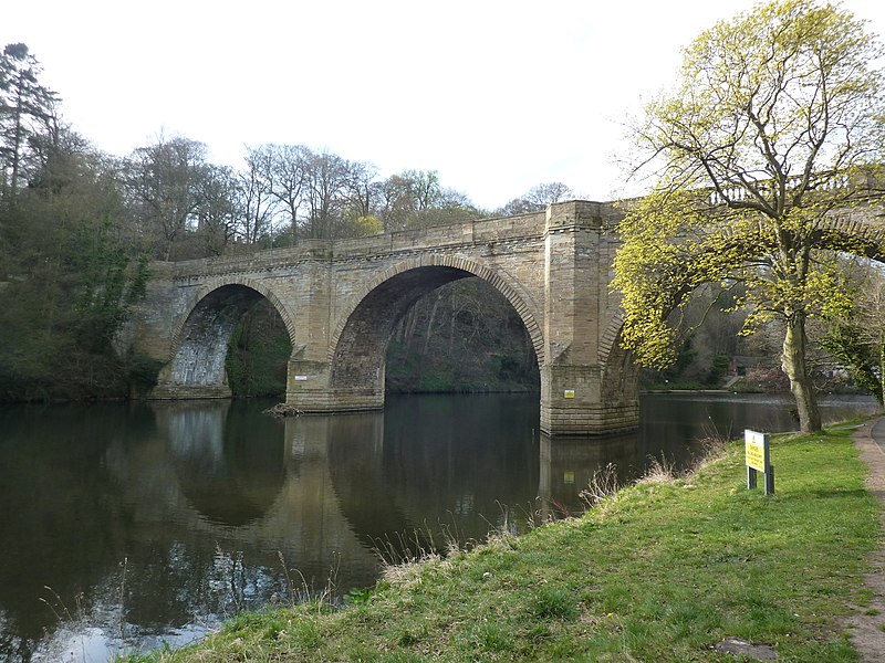
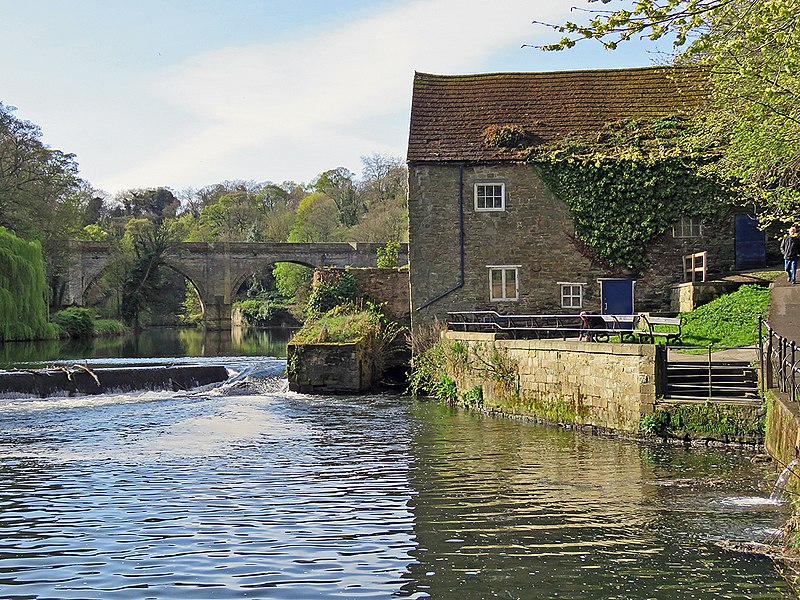
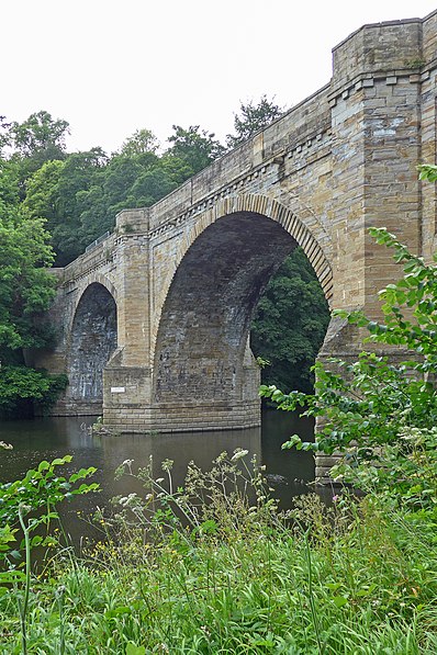
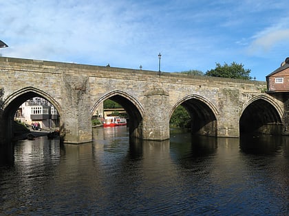
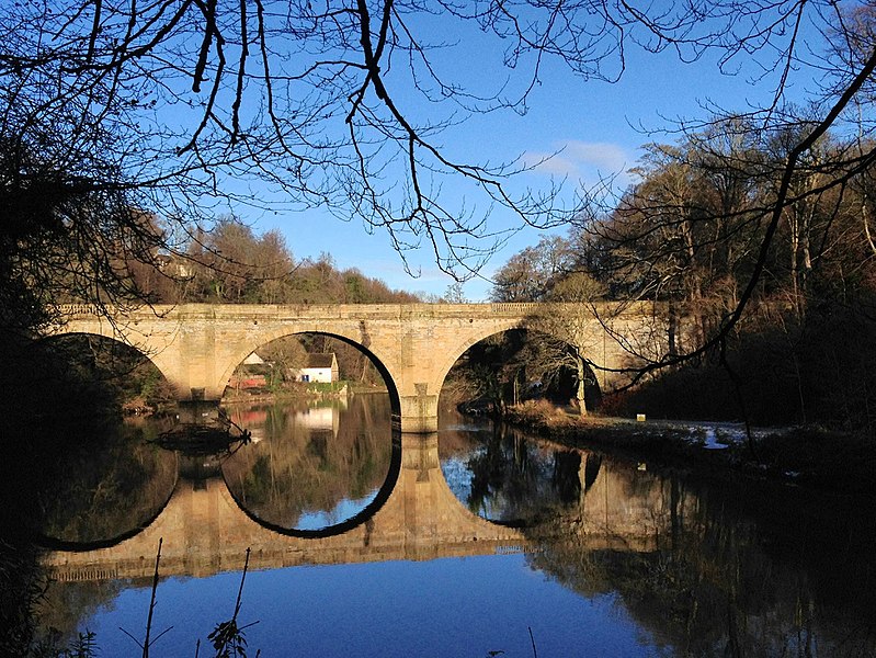
Prebends Bridge, along with Framwellgate and Elvet bridges, is one of three stone-arch bridges in the centre of Durham, England, that cross the River Wear. ()
Coordinates: 54°46'16"N, 1°34'46"W
Day trips
Prebends Bridge – popular in the area (distance from the attraction)
Nearby attractions include: Durham Cathedral, Durham Castle, Durham University Museum of Archaeology, Elvet Bridge.
Frequently Asked Questions (FAQ)
Which popular attractions are close to Prebends Bridge?
Nearby attractions include St Cuthbert's Society, Durham (3 min walk), Durham University Museum of Archaeology, Durham (4 min walk), St. John's College, Durham (5 min walk), Durham Dean and Chapter Library, Durham (5 min walk).
How to get to Prebends Bridge by public transport?
The nearest stations to Prebends Bridge:
Bus
Train
Bus
- New Inn • Lines: 56 (7 min walk)
- St. Oswalds Church • Lines: 56 (8 min walk)
Train
- Durham (16 min walk)


