Osborne Avenue, Newcastle upon Tyne
Map

Map

Facts and practical information
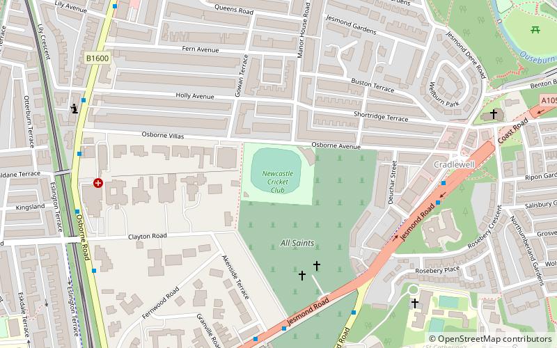
Osborne Avenue is a cricket ground in Jesmond, Tyne and Wear. It was originally known as the Constabulary Ground. It is currently the home ground of Newcastle Cricket Club, Royal Grammar School Newcastle and Northumberland County Cricket Club. ()
Coordinates: 54°59'14"N, 1°35'58"W
Address
South JesmondNewcastle upon Tyne
ContactAdd
Social media
Add
Day trips
Osborne Avenue – popular in the area (distance from the attraction)
Nearby attractions include: Great North Museum: Hancock, Great North Museum, Church of St Thomas the Martyr, Laing Art Gallery.
Frequently Asked Questions (FAQ)
Which popular attractions are close to Osborne Avenue?
Nearby attractions include Cradlewell, Newcastle upon Tyne (6 min walk), Jesmond Old Cemetery, Newcastle upon Tyne (6 min walk), Jesmond Synagogue, Newcastle upon Tyne (9 min walk), Jesmond, Newcastle upon Tyne (9 min walk).
How to get to Osborne Avenue by public transport?
The nearest stations to Osborne Avenue:
Bus
Light rail
Train
Bus
- Sandyford Road • Lines: 306, 308, 309, 310, 311, 51 (5 min walk)
- Cradlewell • Lines: 306, 308, 309, 310, 311, 51, X39 (6 min walk)
Light rail
- Jesmond • Lines: Green, Yellow (10 min walk)
- West Jesmond • Lines: Green, Yellow (16 min walk)
Train
- Manors (27 min walk)


