Páirc na hÉireann, Solihull

Map
Facts and practical information
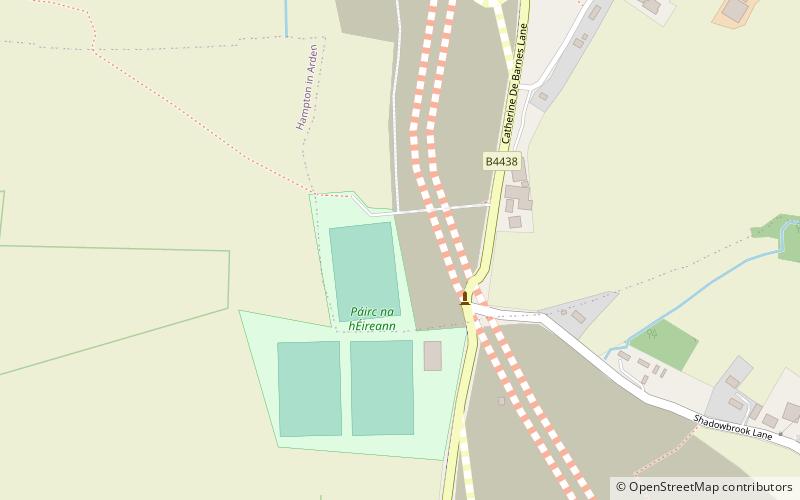
Páirc na hÉireann, near Bickenhill, Solihull, England, is the principal Gaelic games sports facility in the West Midlands. It is administered by the Warwickshire GAA. Páirc na hÉireann is located east of Birmingham near Birmingham International Airport. It is currently the home grounds of Britain GAA. ()
Coordinates: 52°25'59"N, 1°43'52"W
Address
Solihull
ContactAdd
Social media
Add
Day trips
Páirc na hÉireann – popular in the area (distance from the attraction)
Nearby attractions include: National Motorcycle Museum, Touchwood, National Exhibition Centre, Elmdon Park.
Frequently Asked Questions (FAQ)
How to get to Páirc na hÉireann by public transport?
The nearest stations to Páirc na hÉireann:
Bus
Bus
- Airport Way Slip Rd / Viking Rd • Lines: X1 (21 min walk)
- Hampton Lane / The Boat Inn • Lines: X20 (23 min walk)


