Sheldon Country Park, Birmingham
Map

Map

Facts and practical information
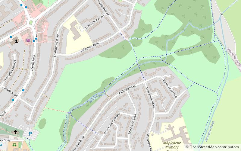
Sheldon Country Park is a country park located in Sheldon, Birmingham, UK. ()
Elevation: 308 ft a.s.l.Coordinates: 52°27'43"N, 1°46'12"W
Address
SheldonBirmingham
ContactAdd
Social media
Add
Day trips
Sheldon Country Park – popular in the area (distance from the attraction)
Nearby attractions include: Swan Shopping Centre, National Exhibition Centre, Blakesley Hall, Babbs Mill Lake.
Frequently Asked Questions (FAQ)
How to get to Sheldon Country Park by public transport?
The nearest stations to Sheldon Country Park:
Bus
Train
Bus
- Coventry Rd / The Arden Oak • Lines: X1 (18 min walk)
Train
- Marston Green (19 min walk)


