Pennine Way, Edale
Map
Gallery
Facts and practical information
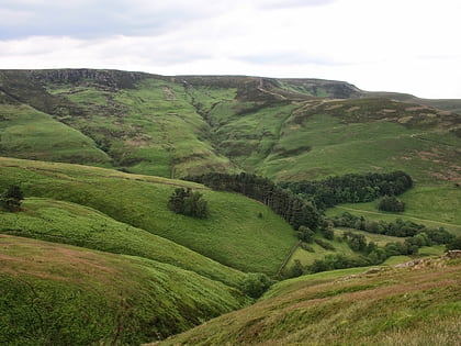
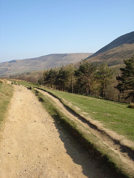
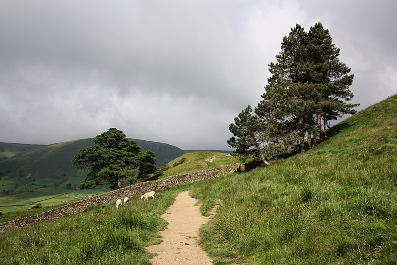
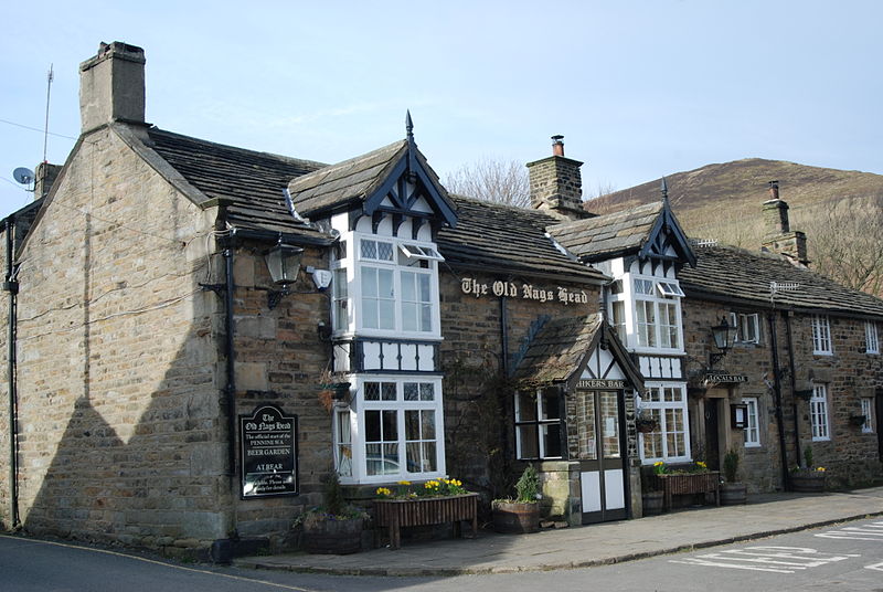
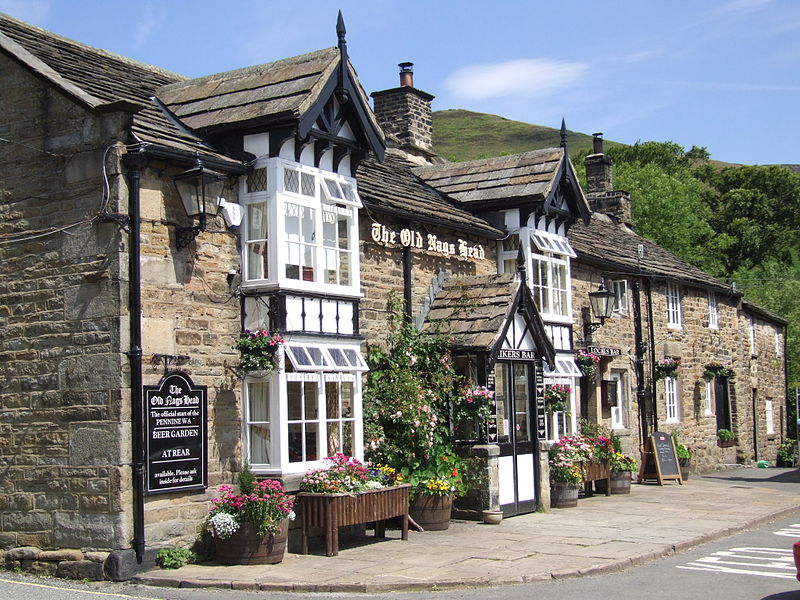
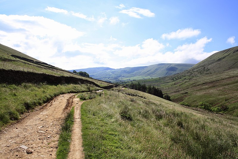
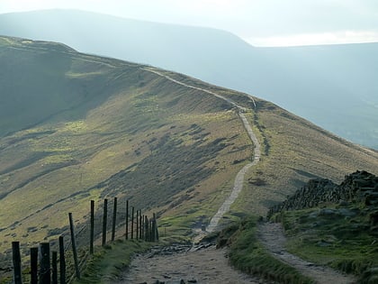
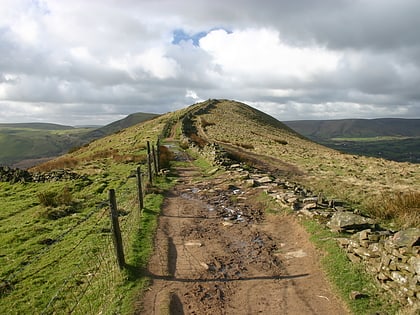
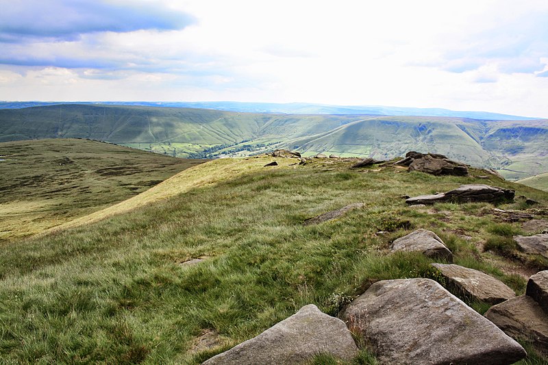
The Pennine Way is a National Trail in England, with a small section in Scotland. The trail stretches for 268 miles from Edale, in the northern Derbyshire Peak District, north through the Yorkshire Dales and Northumberland National Park and ends at Kirk Yetholm, just inside the Scottish border. The path runs along the Pennine hills, sometimes described as the "backbone of England". Although not the United Kingdom's longest National Trail, it is according to The Ramblers "one of Britain's best known and toughest". ()
Alternative names: Length: 268 miMaximum elevation: 2930 ftSeason: All yearCoordinates: 53°21'54"N, 1°48'59"W
Address
Edale
ContactAdd
Social media
Add
Day trips
Pennine Way – popular in the area (distance from the attraction)
Nearby attractions include: Odin Mine, Mam Tor, Rushup Edge, Hollins Cross.
