Grindslow Knoll, Peak District
Map

Map

Facts and practical information
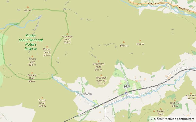
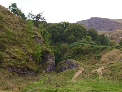
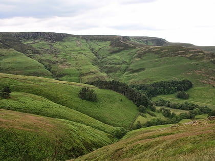
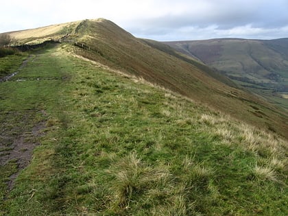
Grindslow Knoll is a hill in the Dark Peak area of the Peak District National Park in Derbyshire, England. It is joined to Kinder Scout by a high col though from most angles appears as an independent peak. It is the high point at the western side of Grindsbrook Clough. ()
Elevation: 1972 ftProminence: 49 ftCoordinates: 53°22'42"N, 1°50'12"W
Address
Peak District
ContactAdd
Social media
Add
Day trips
Grindslow Knoll – popular in the area (distance from the attraction)
Nearby attractions include: Odin Mine, Treak Cliff Cavern, Pennine Way, Blue John Cavern.
Frequently Asked Questions (FAQ)
How to get to Grindslow Knoll by public transport?
The nearest stations to Grindslow Knoll:
Train
Train
- Edale (32 min walk)


