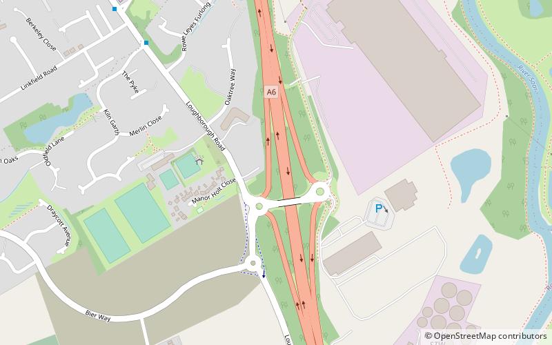
Mountsorrel Meadows, Mountsorrel
Map

Map

Facts and practical information
Mountsorrel Meadows is a 12.6-hectare nature reserve on the eastern outskirts of Mountsorrel in Leicestershire. It is purchased by the Leicestershire and Rutland Wildlife Trust in 2004. ()
Elevation: 213 ft a.s.l.Coordinates: 52°43'12"N, 1°7'41"W
Address
Mountsorrel
ContactAdd
Social media
Add
Day trips
Mountsorrel Meadows – popular in the area (distance from the attraction)
Nearby attractions include: Stonehurst Family Farm and Motor Museum, Rothley Temple, St Mary & St John Church, Cossington Meadows.


