Royal Military Canal Path

Map
Facts and practical information
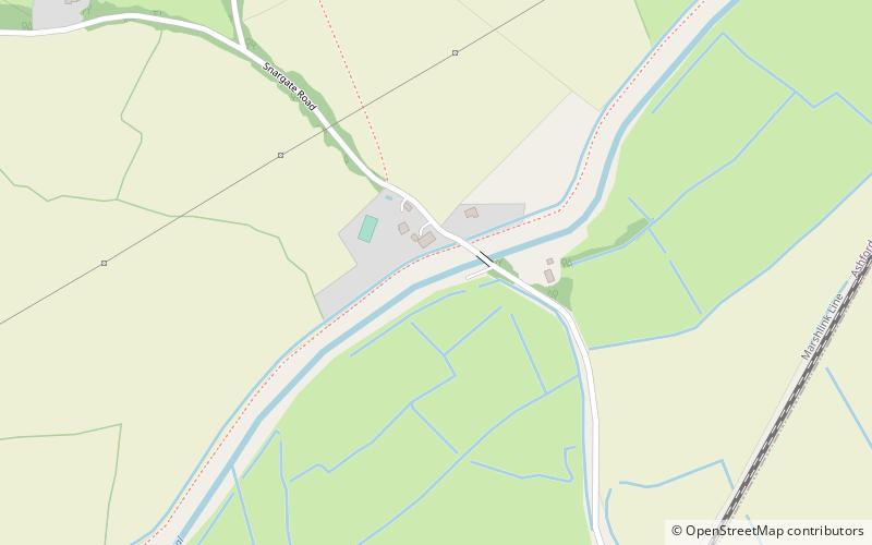
The Royal Military Canal Path is a long-distance path in England, mainly following the Royal Military Canal. Its end points are Seabrook, Kent , and Pett Level, East Sussex , and it runs for 27 miles. It is a canal-side path and fringes the northern edge of Romney Marsh. The canal is an early-19th-century defence against a possible invasion by Napoleon, and it is a Scheduled Ancient Monument and a SSSI. Links are made with the Saxon Shore Way at Appledore and West Hythe. ()
Coordinates: 51°2'51"N, 0°49'15"E
Location
England
ContactAdd
Social media
Add
Day trips
Royal Military Canal Path – popular in the area (distance from the attraction)
Nearby attractions include: Smallhythe Place, Rare Breeds Centre, Sinden Theatre, St Augustine's Church.


