Saxon Shore Way, Gravesend
Map
Facts and practical information
The Saxon Shore Way is a long-distance footpath in England. It starts at Gravesend, Kent, and traces the coast of South-East England as it was in Roman times as far as Hastings, East Sussex, 163 miles in total. This means that around Romney Marsh the route runs significantly inland from the modern coastline. ()
Season: All yearCoordinates: 51°26'46"N, 0°22'8"E
Address
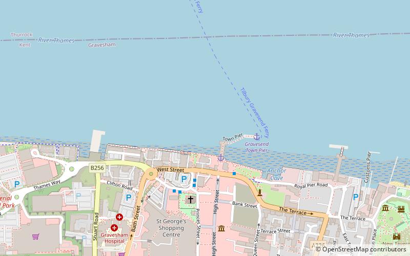
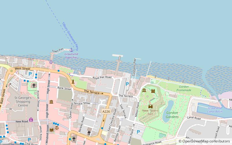
Gravesend
ContactAdd
Social media
Add
Getting there by public transportation
Public transportation stops near this location
- Bus
- Train
- Ferry
 Bus
Bus
- Calculate routeGravesend Town Pier 3 min walk
- Calculate routeTilbury Landing Stage 9 min walk
- Calculate routeWest Street 3 min walk
- Calculate routeKing Street 7 min walk
- Calculate routeGarrick Street 8 min walk
- Calculate routeGravesend 9 min walk
- Calculate routeTilbury Town 34 min walk
Day trips


Frequently Asked Questions (FAQ)
Which popular attractions are close to Saxon Shore Way?
Nearby attractions include Town Pier, Gravesend (2 min walk), St George's Church, Gravesend (4 min walk), Gravesend Town Hall, Gravesend (5 min walk), Royal Terrace Pier, Gravesend (7 min walk).
How to get to Saxon Shore Way by public transport?
The nearest stations to Saxon Shore Way:
Ferry
Bus
Train
Ferry
- Gravesend Town Pier • Lines: Gravesend-Tillbury Foot Ferry, Tillbury-Gravesend Foot Ferry (3 min walk)
- Tilbury Landing Stage • Lines: Gravesend-Tillbury Foot Ferry, Tillbury-Gravesend Foot Ferry (9 min walk)
Bus
- West Street • Lines: 190, 416, 455, 480, 481, 483, 490 (3 min walk)
- King Street • Lines: 190, 416, 480, 481, 489, 490 (7 min walk)
Train
- Gravesend (9 min walk)
- Tilbury Town (34 min walk)