Rhee Wall, Romney Marsh

Gallery (1)
Map

Map
Facts and practical information
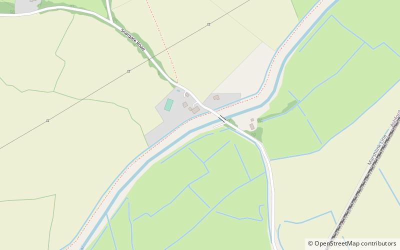
The Rhee Wall is a former watercourse in Romney Marsh in Kent. It is 7.5 miles long and runs from Appledore, on the north-western edge of Romney Marsh, south-east through Snargate, Brenzett and Old Romney, to New Romney near the coast. The Rhee Wall forms a boundary between Romney Marsh proper, to the north-east, and Walland Marsh to the south-west. ()
Coordinates: 51°0'6"N, 0°51'57"E
Address
Romney Marsh
ContactAdd
Social media
Add
Day trips