St Saviour's Church, Burton upon Trent
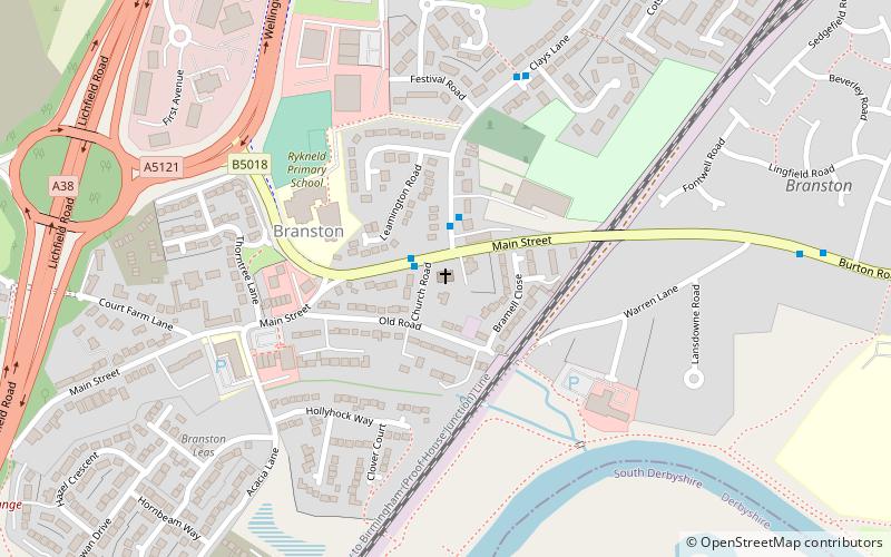
Map

Gallery

Facts and practical information
Saint Saviour's is the Church of England parish church for the village of Branston, south of Burton upon Trent. It is part of the Diocese of Lichfield. ()
Coordinates: 52°47'15"N, 1°40'4"W
Day trips
St Saviour's Church – popular in the area (distance from the attraction)
Nearby attractions include: Branston Water Park, national forest llama treks, Sinai Park House, All Saints Church.
Frequently Asked Questions (FAQ)
How to get to St Saviour's Church by public transport?
The nearest stations to St Saviour's Church:
Bus
Bus
- St Saviour's Church • Lines: 12, X12 (1 min walk)
- No. 3 • Lines: 811, 812 (2 min walk)


