Smestow Valley Leisure Ride, Wolverhampton
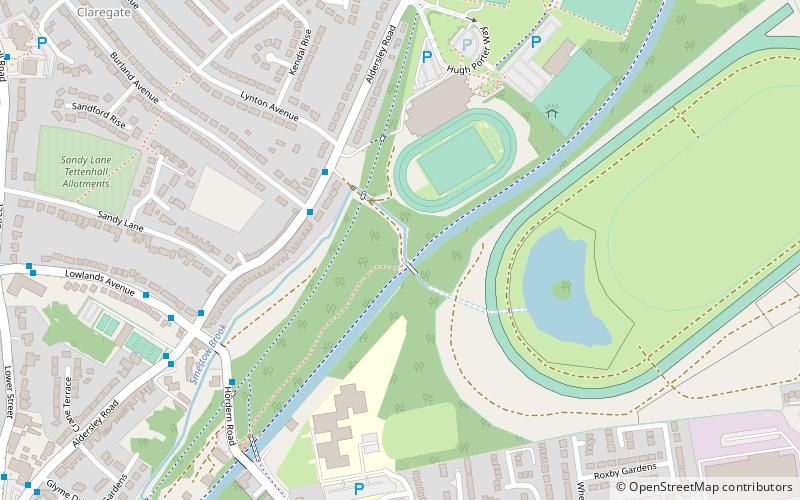
Map
Facts and practical information
Smestow Valley Leisure Ride is an approximately 10 miles long cycle path linking Aldersley Leisure Village in Aldersley, Wolverhampton following the route of the disused Wombourne Branchline to the disused Wombourne railway station. From Wombourne station, the route follows the Staffordshire and Worcestershire Canal back to Aldersley Leisure Village forming a circular route. Refreshments are provided at both locations. The route passes near Wightwick Manor, Bratch Locks and the Old Station Tettenhall. ()
Coordinates: 52°36'13"N, 2°9'5"W
Address
Tettenhall RegisWolverhampton
ContactAdd
Social media
Add
Getting there by public transportation
Public transportation stops near this location
- Bus
 Bus
Bus
- Calculate routeAldersley Rd / Burland Avenue 3 min walk
- Calculate routeHordern Rd / Smestow Brook 5 min walk
- Calculate routeLowlands Ave / Aldersley Rd 6 min walk
Day trips


Frequently Asked Questions (FAQ)
Which popular attractions are close to Smestow Valley Leisure Ride?
Nearby attractions include Aldersley Junction, Wolverhampton (11 min walk), Whitmore Reans, Wolverhampton (16 min walk), St Andrew's Church, Wolverhampton (18 min walk), Tettenhall, Wolverhampton (19 min walk).
How to get to Smestow Valley Leisure Ride by public transport?
The nearest stations to Smestow Valley Leisure Ride:
Bus
Bus
- Aldersley Rd / Burland Avenue • Lines: 6, 6A, 784 (3 min walk)
- Hordern Rd / Smestow Brook • Lines: 5, 6, 62, 62A, 6A, 784 (5 min walk)