South Cheshire Way
Map

Map

Facts and practical information
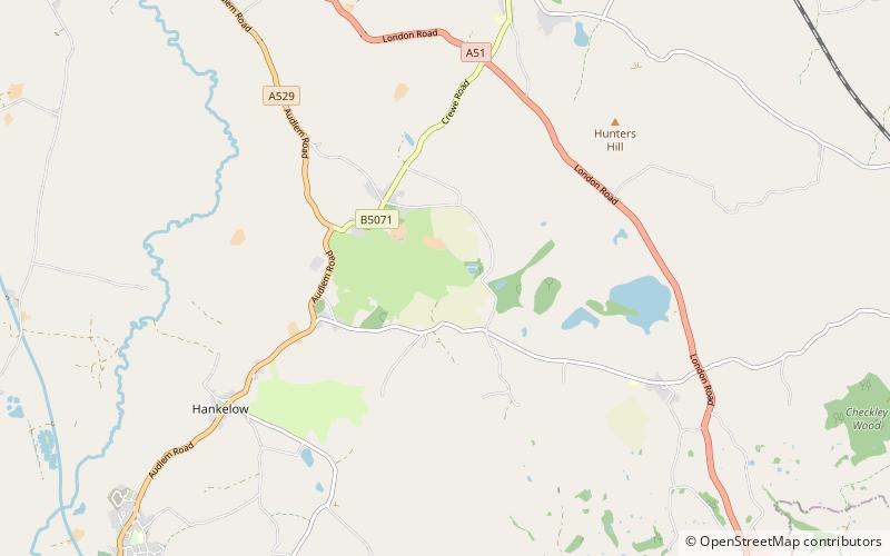
The South Cheshire Way is a 32-mile long-distance footpath running east–west mainly through Cheshire, England, though parts lie in Shropshire and Staffordshire. The western section from Grindley Brook, near Whitchurch, runs through farmland; the eastern section from Mow Cop, near Biddulph, runs through low hills. The footpath is waymarked with black and yellow discs inscribed 'SCW'. ()
Coordinates: 53°1'0"N, 2°27'30"W
Location
England
ContactAdd
Social media
Add
Day trips
South Cheshire Way – popular in the area (distance from the attraction)
Nearby attractions include: Gresty Road, 46 High Street, Nantwich Museum, Hack Green Secret Nuclear Bunker.


