South Staffordshire Railway Walk, Wolverhampton

Map
Facts and practical information
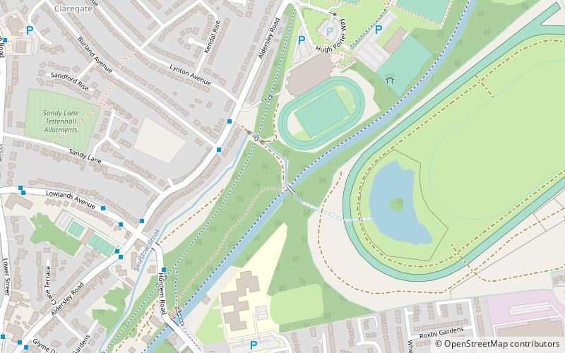
The South Staffordshire Railway Walk is located in Staffordshire, England. It runs for five and a half miles from Castlecroft to Wall Heath. It is a local nature reserve. ()
Coordinates: 52°36'13"N, 2°9'5"W
Address
Tettenhall RegisWolverhampton
ContactAdd
Social media
Add
Day trips
South Staffordshire Railway Walk – popular in the area (distance from the attraction)
Nearby attractions include: Wolverhampton Art Gallery, Molineux Stadium, Wolverhampton Racecourse, St Peter's Collegiate Church.
Frequently Asked Questions (FAQ)
Which popular attractions are close to South Staffordshire Railway Walk?
Nearby attractions include Aldersley Junction, Wolverhampton (11 min walk), Whitmore Reans, Wolverhampton (16 min walk), St Andrew's Church, Wolverhampton (18 min walk), Tettenhall, Wolverhampton (19 min walk).
How to get to South Staffordshire Railway Walk by public transport?
The nearest stations to South Staffordshire Railway Walk:
Bus
Bus
- Aldersley Rd / Burland Avenue • Lines: 6, 6A, 784 (3 min walk)
- Hordern Rd / Smestow Brook • Lines: 5, 6, 62, 62A, 6A, 784 (5 min walk)


