Spelga Reservoir
Map

Map

Facts and practical information
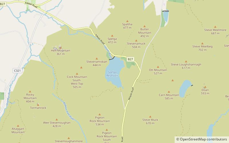
Spelga Reservoir is a reservoir in the townland of Spelga in the Mourne Mountains of County Down, Northern Ireland. It was formed by the Spelga Dam and sits at over 1,200 ft above sea level. It has a volume of 2,700,000 cubic metres and a catchment area of 5.423 km². It occupies an area known as Deers Meadow, and impounds the River Bann, which rises on the nearby Slieve Muck. ()
Elevation: 1096 ft a.s.l.Coordinates: 54°10'26"N, 6°3'40"W
Location
Northern Ireland
ContactAdd
Social media
Add
Day trips
Spelga Reservoir – popular in the area (distance from the attraction)
Nearby attractions include: Kilbroney Park, Tollymore Forest Park, Slieve Binnian, Slieve Commedagh.


