St Giles' Church

Gallery (1)
Map
Map
Facts and practical information
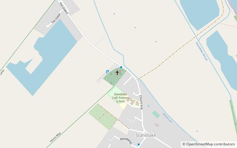
The Parish Church of Saint Giles, Standlake is the Church of England parish church of Standlake, a village about 5 miles southeast of Witney in Oxfordshire. Since 1976 St Giles' parish has been a member of the Lower Windrush Benefice along with the parishes of Northmoor, Stanton Harcourt and Yelford. ()
Coordinates: 51°43'48"N, 1°25'34"W
Location
England
ContactAdd
Social media
Add
Day trips


