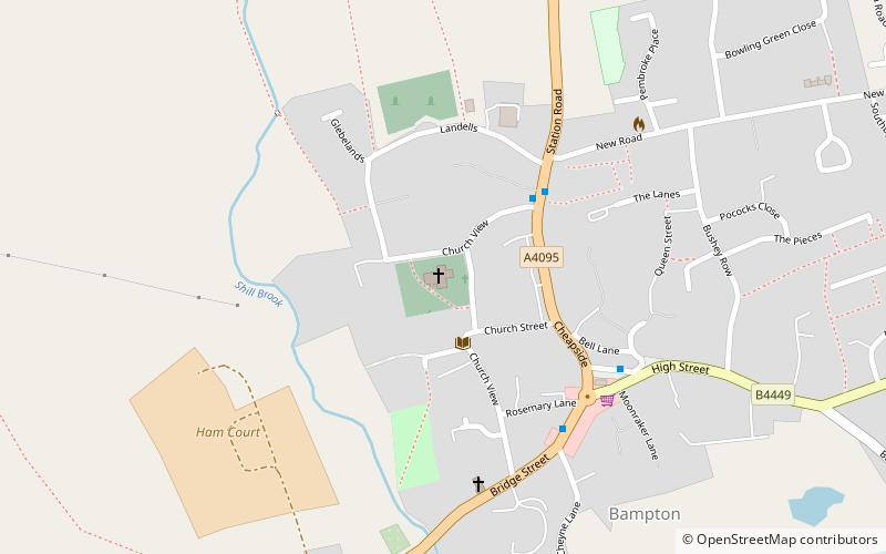
St Mary's Church, Bampton
#1 among attractions in Bampton
![St Mary's Church location map](https://tzmedia.b-cdn.net/media/images/static-maps/gb/51_7278_-1_54867.jpg)
Facts and practical information
The Church of Saint Mary the Virgin is the Church of England parish church of Bampton, West Oxfordshire. It is in the Archdeaconry of Dorchester in the Diocese of Oxford. ()
Bampton plan & book
Unleash the traveler in you — discover the cheapest flight deals, find the perfect hotel or hostel nearby, and search for the best car rental prices. Travel at your own pace to discover new places and enjoy your journey.
St Mary's Church – popular in the area (distance from the attraction)
Nearby attractions include: Cotswold Wildlife Park, Cogges Manor Farm, Town Hall, Faringdon Folly Tower.
5.4 miNWLandscaped parkland filled with animalsCotswold Wildlife Park, Burford
139 min walk • Nestled in the heart of the Oxfordshire countryside, Cotswold Wildlife Park is a tranquil escape into the animal kingdom, situated near the picturesque town of Burford, United Kingdom. This expansive wildlife park, set within the beautiful gardens of Bradwell Grove...
5 miNEFarm, Museum, History museumCogges Manor Farm, Witney
128 min walk • Cogges Manor Farm is a one-time working farm in Cogges near Witney in Oxfordshire, England, now a heritage centre operated by a charitable trust and open to the public.
4.7 miNECity hallTown Hall, Witney
121 min walk • Witney Town Hall is a municipal structure in Spring Lane in Market Square, Witney, Oxfordshire, England. The town hall, which is the headquarters of Witney Town Council, is a Grade II* listed building.
4.9 miS51°39'32"N • 1°34'17"WFaringdon Folly Tower, Faringdon
124 min walk • Historical place, View point, Forts and castles
5 miSEChurchSt Mary's Church
129 min walk • St Mary's Church is a Church of England parish church in Longworth, Oxfordshire. The church is a Grade I listed building.
5.2 miEChurchSt Giles' Church
134 min walk • The Parish Church of Saint Giles, Standlake is the Church of England parish church of Standlake, a village about 5 miles southeast of Witney in Oxfordshire. Since 1976 St Giles' parish has been a member of the Lower Windrush Benefice along with the parishes of Northmoor, Stanton Harcourt and Yelford.
5.8 miSEForts and castlesCherbury Camp
148 min walk • Cherbury Camp is a multi-vallate hill fort-like earthwork, situated at grid reference SU374963, 1 mi to the north of the village of Charney Bassett in the Vale of White Horse, Oxfordshire, United Kingdom.
2.4 miEChurchCote Baptist Chapel
61 min walk • Cote Baptist Church stands in Shifford Road, Cote, 1 mile to the east of Aston and 4 miles to the east of Bampton, in Oxfordshire, England. It is a redundant Baptist chapel in the care of the Historic Chapels Trust, and is recorded in the National Heritage List for England as a designated Grade II* listed building.
3 miSWBridgeRadcot Bridge
76 min walk • Radcot Bridge is a crossing of the Thames in England, south of Radcot, Oxfordshire, and north of Faringdon, Oxfordshire which is in the district of that county that was in Berkshire. It carries the A4095 road across the reach above Radcot Lock.
3.4 miSEBridgeTenfoot Bridge
88 min walk • Tenfoot Bridge is a wooden footbridge across the River Thames in Oxfordshire, England. It is situated on the reach above Shifford Lock and was built in 1869. It connects Buckland on the south bank to Chimney on the north. The name derives from a pre-existing weir which had a 10-foot-wide flash lock in it.
2.1 miSWBridgeOld Man's Bridge
54 min walk • Old Man's Bridge is a wooden footbridge across the River Thames in Oxfordshire, England. It is situated on the reach above Rushey Lock, a short way downstream of Radcot Lock. There was formerly a weir known as Old Man's Weir, or alternatively Harper's Weir, which had a footpath across it.