Cherbury Camp
Map

Map

Facts and practical information
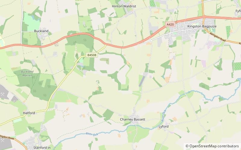
Cherbury Camp is a multi-vallate hill fort-like earthwork, situated at grid reference SU374963, 1 mi to the north of the village of Charney Bassett in the Vale of White Horse, Oxfordshire, United Kingdom. The site itself is connected to the village by a footpath. ()
Coordinates: 51°39'52"N, 1°27'36"W
Location
England
ContactAdd
Social media
Add
Day trips
Cherbury Camp – popular in the area (distance from the attraction)
Nearby attractions include: Frilford Heath Golf Club, Vale and Downland Museum, Frilford Heath, Church of St Peter and St Paul.


