Hove Park, Brighton
Map

Gallery

Facts and practical information
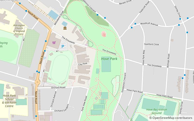
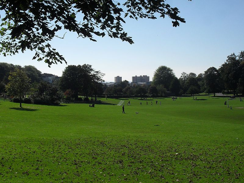
Hove Park is a park within the English city of Brighton & Hove. It is also the name of an electoral ward in Brighton and Hove whose population at the 2011 census was 10,602. ()
Elevation: 125 ft a.s.l.Coordinates: 50°50'33"N, 0°10'22"W
Address
Goldstone CrescentHove Park (West Blatchington)Brighton BN3 7BF
Contact
+44 1273 290000
Social media
Add
Day trips
Hove Park – popular in the area (distance from the attraction)
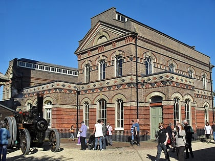
Nearby attractions include: Brighton & Hove Greyhound Stadium, Preston Manor, British Engineerium, St Peter's Church.
Frequently Asked Questions (FAQ)
Which popular attractions are close to Hove Park?
Nearby attractions include British Engineerium, Brighton (5 min walk), Ralli Hall, Brighton (15 min walk), St Barnabas Church, Brighton (16 min walk), West Blatchington Windmill, Brighton (16 min walk).
How to get to Hove Park by public transport?
The nearest stations to Hove Park:
Bus
Train
Bus
- Hove Park North • Lines: 27B, 55 (5 min walk)
- Waitrose Hove • Lines: 21E, 5B, N5 (6 min walk)
Train
- Hove (14 min walk)
- Aldrington (15 min walk)


