All Saints Church, Brighton
Map
Gallery
Facts and practical information
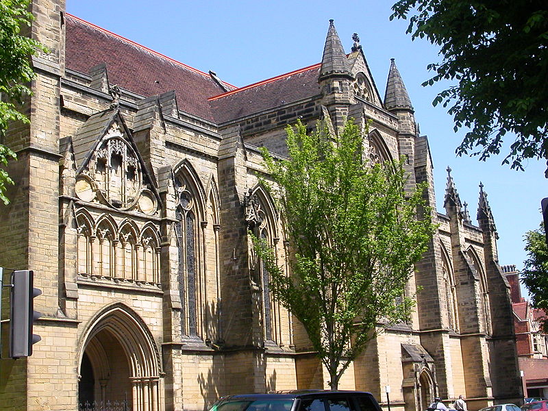
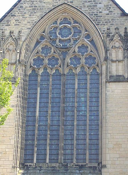
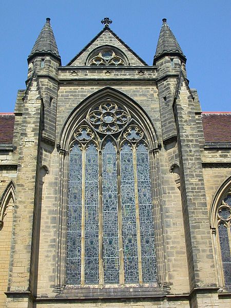
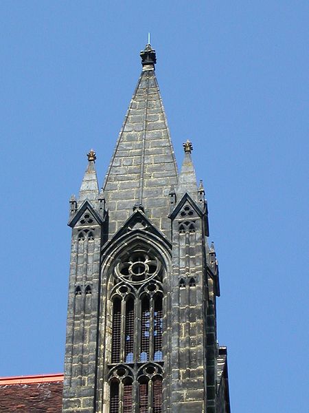
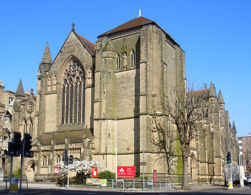
All Saints Hove is an Anglican church in Hove, part of the English city of Brighton and Hove. It has served as the parish church for the whole of Hove since 1892, and stands in a prominent location at a major crossroads in central Hove. ()
Coordinates: 50°49'49"N, 0°10'2"W
Day trips
All Saints Church – popular in the area (distance from the attraction)
Nearby attractions include: Adelaide Crescent, Palmeira Square, Brighton and Hove Progressive Synagogue, Hove Museum and Art Gallery.
Frequently Asked Questions (FAQ)
Which popular attractions are close to All Saints Church?
Nearby attractions include Church of the Sacred Heart, Brighton (5 min walk), Sussex County Cricket Ground, Brighton (5 min walk), Brighton and Hove Reform Synagogue, Brighton (6 min walk), Holy Trinity Church, Brighton (6 min walk).
How to get to All Saints Church by public transport?
The nearest stations to All Saints Church:
Bus
Train
Bus
- Eaton Road • Lines: 2, 21, 21A, 25, 46, 5, 5A, 5B, N5 (3 min walk)
- Cricket Ground • Lines: 21A (5 min walk)
Train
- Hove (10 min walk)
- Aldrington (20 min walk)


