Sussex Border Path, Rye
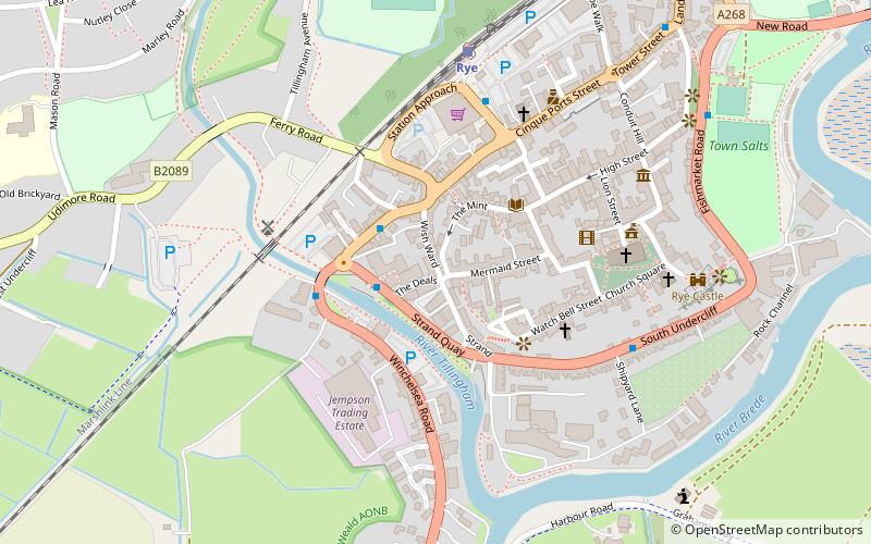
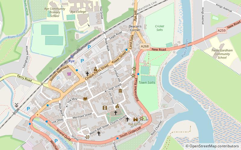
Map
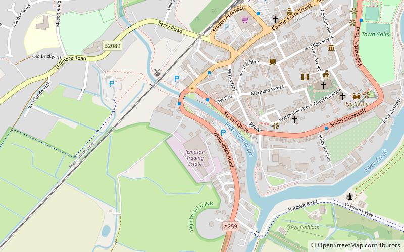
Map

Facts and practical information
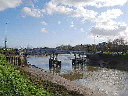
The Sussex Border Path is a long-distance footpath around the borders of Sussex, a historic county and former medieval kingdom in southern England. The main path is 150 miles long and stays close to Sussex's borders with Hampshire, Surrey and Kent, connecting Thorney Island to Rye. There is also an additional 33-mile spur known as the Mid Sussex Path which links East Grinstead with Fishersgate and Mile Oak on the western boundary of the city of Brighton and Hove. ()
Length: 169.63 miMaximum elevation: 919 ftSeason: All yearCoordinates: 50°56'56"N, 0°43'44"E
Address
Rye
ContactAdd
Social media
Add
Day trips
Sussex Border Path – popular in the area (distance from the attraction)
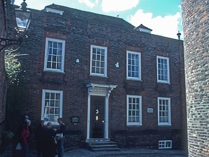
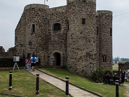
Nearby attractions include: Camber Castle, Lamb House, Rye Castle Museum, The Olde Bell.
Frequently Asked Questions (FAQ)
Which popular attractions are close to Sussex Border Path?
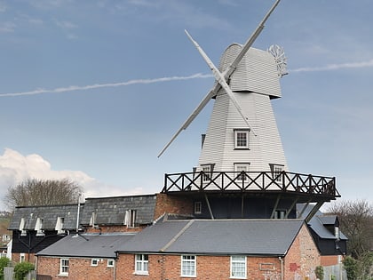
Nearby attractions include Gibbet Mill, Rye (3 min walk), Rye Pottery, Rye (3 min walk), Rye Particular Baptist Chapel, Rye (3 min walk), St Anthony of Padua, Rye (5 min walk).
How to get to Sussex Border Path by public transport?
The nearest stations to Sussex Border Path:
Train
Train
- Rye (7 min walk)
- Winchelsea (40 min walk)


